|
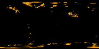
This animation shows the locations of glaciers worldwide as semi-transparent markers that shrink over a time. Location data for the glaciers was collected from a wide variety of databases including the Global Land Ice Measurements from Space (GLIMS) Glacier Database, the World Glacier Inventory, the West Greenland Glacier Inventory, the Antarctic Names Database, the Atlas of Canada and the Antarctic Digital database. In total, over 174,000 glaciers were identified. This set of glaciers was thinned spatially to retain only glaciers that were at least 1/4 degree away from other glacier locations in order to remove points that appeared coincident given the size of the location markers and the resolution of the images generated. Here, markers represent random locations where glaciers are found. Markers are stretched as required in latitude so that all markers appear circular when projected on the sphere. The markers begin as large and semi-transparent buttons, and change color, size and opacity over a period of 12 frames.
|


