Home
News
Services
Directory
Contact
Search Terms:
PRINT-FRIENDLY
SITEMAP
KCGIS Center
Serving the GIS Needs of the King County Community
You're in
:
KCGIS Center
» Maps
KCGIS Center
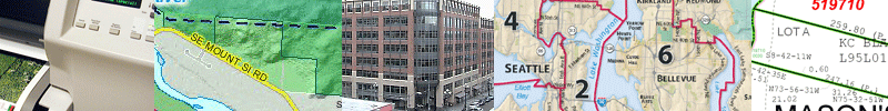
Maps
iMAP
CensusViewer
Virtual Map Counter
Terms of Use & Copyright
Property Research
KCGIS Center news
GIS Data
Training
Client Services
KCGIS User Group
GIS Projects
About Us / Contact Us
Site map
King County GIS Center
King Street Center
201 S. Jackson St.
Suite 706
Seattle, WA 98104
giscenter@kingcounty.gov
47.59909 N
122.33136 W
47° 35' 56.72" N
122° 19' 52.90" W
Property and Planning
iMAP
Parcel Viewer
eMaps
Zoning Map
(uninc. King County only)
Zoning Atlas
Land Use Map
Land Use Atlas
King County Comprehesive Plan
Interim Potential Annexation Areas
Annexation Initiative
Floodplain Mapping
Recreation
Park Locator
King County Regional Trails
Vashon–Maury Island Parks & Natural Lands
Map and Guide
Burien-Seatac-Tukwila-Renton Map and Guide
Walking maps in King County
Cougar Mountain Regional Wildland Park
Marymoor Park
...
more recreation maps
Environment
Salmon Watcher
Snoqualmie River Riparian Photos Viewer
Shoreline Master Program
Watershed maps
Groundwater maps
Lake Stewardship Program
Wastewater Treatment
Combined Sewer Overflows
Wastewater Treatment Facilities
Regional Wastewater Services Plan
Wastewater Treatment Service Area
and Facilities
Transportation
Regional Transit Map Book
Metro Transit Maps
King County Bicycling Guidemap
Transportation Planning
King County Road Inventory
King County Roads Map Counter
....
more transportation maps
Districts and Elections
King County Council Districts
(county-wide districts map)
King County Council Districts
(individual district maps)
King County Legislative Districts
District Court maps
City maps
School District maps
Community resources
Swimming Beaches
Puget Sound Fresh
:
Farms
,
Farmers Markets
Yard / Garage Sale listings
Public Health Core Indicators
Census Viewer
Natural Resources
King County Natural Resources Maps
(links to many maps from DNRP)
King County Land Cover - 2001
King County Known Noxious Weed Locations 1996 - 2003
Noxious Weeds Maps
Hydrologic Information Center Gauge Map
Other Map Resources
DDES Reference Maps
DNRP Reference Maps
Records and Elections Reference Maps
King County GIS Virtual Map Counter
King County Roads Map Counter