

 |  | ||||||||||||||
|
|
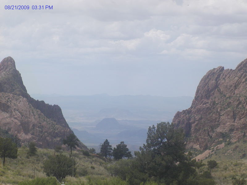
Big Bend National Park
Webcams
|
|||||||||||
|
|||||||||||
|
||||||
 |
Did You Know? |
|||
| Disclaimer | Accessibility | Privacy Policy | FOIA | Notices | USA.gov |
Last Updated: April 04, 2009 at 10:09 EST
|
||||||||||||||||||||||||||||||||||||||||||||||||||||
| ||||||||||||||||||||||||||||||||||||||||||||||||||||
|
|
|
|||||||||||||||||||||||||||||||||||||||||||||||||||
|
||||||||||||||||||||||||||||||||||||||||||||||||||||
|
||||||||||||||||||||||||||||||||||||||||||||||||||||
Last Updated: April 04, 2009 at 10:09 EST |
||||||||||||||||||||||||||||||||||||||||||||||||||||