Center for Spatial Analysis Technologies
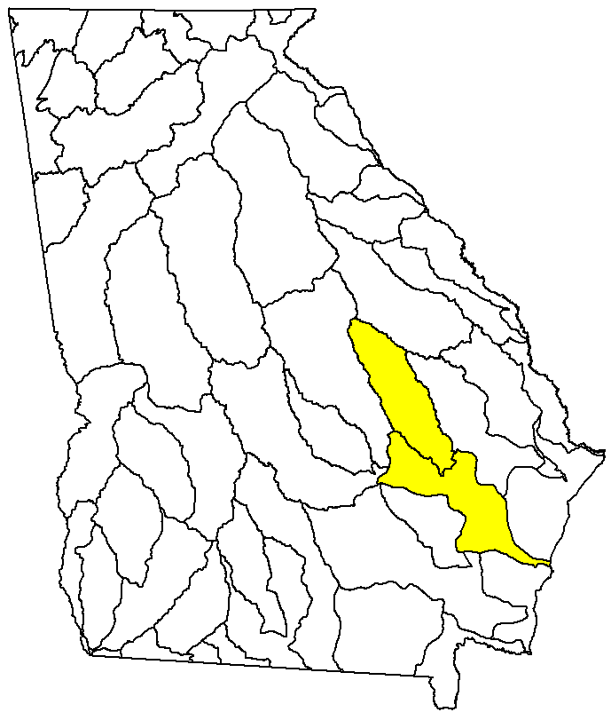
| Please Select an 8-digit Hydrologic Unit to Download
|

|

![]() U.S. Department of the Interior |
U.S. Geological Survey
U.S. Department of the Interior |
U.S. Geological Survey
URL: http://csat.er.usgs.gov/ga_epd/basins/altamaha.html
Page Contact Information: webmaster-ga@usgs.gov
Page Last Modified: Thursday, 18-May-2006 15:09:04 EDT