NOAA Satellite and Information Service
National Oceanographic Data Center

Coastal Water Temperature Table

All Coastal Regions Subscribe to NODC Coastal Water Temperature Guide RSS feed Link to the water temperature map of the NODC Coastal Water Temperature Guide
Atlantic Coast: North Subscribe to Northern Atlantic Coast RSS feed Link to the temperature map of the Northern Atlantic Coast
Atlantic Coast: Central Subscribe to Central Atlantic Coast RSS feed Link to the temperature map of the Central Atlantic Coast
Atlantic Coast: South Subscribe to Southern Atlantic Coast RSS feed Link to the temperature map of the Southern Atlantic Coast
Other Atlantic Sites
Gulf of Mexico Coast: Eastern Subscribe to Easten Gulf of Mexico RSS feed Link to the temperature map of the Easten Gulf of Mexico Coast
Gulf of Mexico Coast: Western Subscribe to Western Gulf of Mexico RSS feed Link to the temperature map of the Western Gulf of Mexico Coast
Pacific Coast: North Subscribe to Northern Pacific Coast RSS feed Link to the temperature map of the Northern Pacific Coast
Pacific Coast: Central Subscribe to Central Pacific Coast RSS feed Link to the temperature map of the Central Pacific Coast
Pacific Coast: South Subscribe to Southern Pacific Coast RSS feed Link to the temperature map of the Southern Pacific Coast
Other Pacific Islands Subscribe to Pacific Islands Coast RSS feed Link to the temperature map of the Pacific Islands Coast
Great Lakes Subscribe to Great Lakes RSS feed Link to the temperature map of the Great Lakes Coast
Alaska Coast Subscribe to Alaska Coast RSS feed Link to the temperature map of the Alaska Coast
Hawaiian Island Coast Subscribe to Hawaiian Island Coast RSS feed Link to the temperature map of the Hawaiian Island Coast
About CWTG
FAQs

NODC Coastal Water Temperature Guide (CWTG)

WHAT IS NEW
— 03 June 2008: The CWTG handout is available here (PDF; 2.66MB)
— 13 May 2008: 
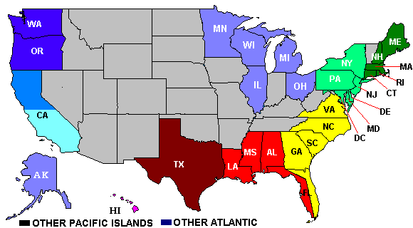
The NODC has implemented a Google Maps-enabled application, which supports interactive browsing of the CWTG's near real-time and monthly average water temperatures. To use the application please click on the region shown on the map below or click on the appropriate map icon NODC CWTG map icon from the side menu at left.
— 11 January 2008: RSS Feeds RSS feed icon are available from NODC Coastal Water Temperature Guide.
To display water temperatures in a region of your interest, point and click on the region shown on the map below or select it from the side menu at left.
USA Map Click for the US Northern Atlantic coast Click for the US Central Atlantic coast Click for the US Southern Atlantic coast Click for the US Eastern Gulf of Mexico coast Click for the US Western Gulf of Mexico coast Click for other Pacific Islands Coast Click for other Atlantic sites Click for the Hawaiian Islands coast Click for the US Alaska coast Click for the US Southern Pacific coast Click for the US Central Pacific coast Click for the US Northern Pacific coast Click for the Greate Lakes
  Last modified:    Mon, 7-Jul-2008 15:10 UTC NODC.Webmaster@noaa.gov
 
Dept. of Commerce - NOAA - NESDIS - NODC
* External link: You will be leaving the Federal
   Government by following an external link.
USA.gov - The U.S. Government's Web Portal