A catalog of NASA images and animations of our home planet
Skip Navigation (key s)
.
Home
Terms of Use
Frequently Asked Questions
Browse By:
Satellite
Sensor
Collections
Country
U.S. State
GCMD Topic
All Categories
»
GCMD Topics
»
Land Surface
»
Topography
Piñon Canyon Region, Colorado
Manicouagan Impact Structure, Quebec
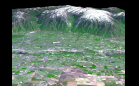
3-D Perspective View, Kamchatka …
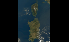
Corsica and Sardinia
Honolulu and Waikiki
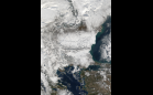
Snow in the Balkans
Snow in Southwest United States
Salt Lake City, Utah, Perspective …
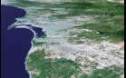
Perspective View: San Diego, …
Western United States Beyond the …
Earthquake Hits Hindu Kush, …
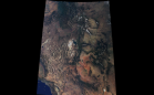
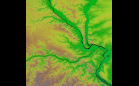
Relief Map of St. Louis, Missouri
Los Angeles
Sort By: Data Date
↑
↓
Visualization Date
↑
↓
ID
↑
↓
«
‹
1
2
3
4
5
6
7 › »
Subcategories
Contours
(7)
Landforms
(70)
Relief
(16)
Surface Roughness
(12)
Terrain Elevation
(12)
Topographic Effects
(26)