
- Home
- About S&T
- Taxa/Organisms
- Ecosystems
- Issues
- Methods & Tools
- Reports & Publications
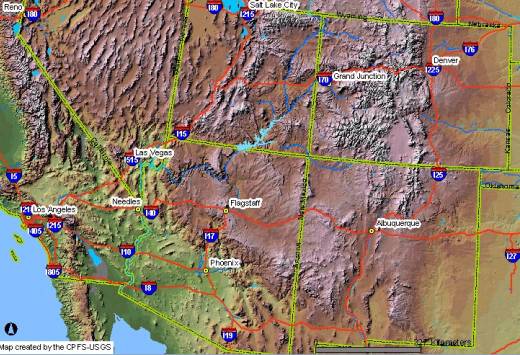
- Location
- Search
Publisher: USGS | Science Center: Southwest Biological Science Center (SBSC, Flagstaff) | Format: URL
sbsc.wr.usgs.gov — The Internet Map Server (IMS) visually displays the non-native, invasive plants (weed) occurrences in the current (2003) SWEMP database. An IMS allows you to interactively draw, query, and print maps. The SWEMP IMS was developed from ESRI's ArcIMS presentation product.The Southwest Exotic Plant Information Clearinghouse is a cooperative effort More...
Publisher: USGS | Science Center: Southwest Biological Science Center (SBSC, Flagstaff) | Format: URL
sbsc.wr.usgs.gov — The purpose of this research project is to document vegetation change in the arid lands of the southwestern United States. The project compiles data on past and present plant distributions. These plant distributions are combined with data on past, present, and future climates to predict future plant distributions. The project requires four major More...
Publisher: USGS | Format: URL
pubs.usgs.gov — This web resource describes the U.S. Geological Survey (USGS) Across Trophic Level System Simulation (ATLSS) Program, which has produced a set of models, including spatially explicit species index models, population demography models, and ecosystem process models that are designed to evaluate the ecological effects of hydrologic scenarios on More...

