North Dakota Water Science Center
|
Webcam on Red River at Grand Forks, ND 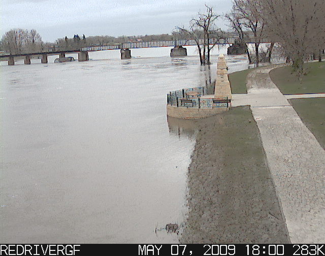
Information Center
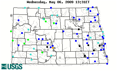
Red River Basin
Devils Lake Basin
Missouri River Basin North Dakota Wetlands Annual Data Reports Lewis & Clark and the USGS Canoeing North Dakota's Rivers Education USGS IN YOUR STATEUSGS Water Science Centers are located in each state. 
|
Welcome to The North Dakota Water Science CenterHere you'll find information on North Dakota's rivers, streams, and lakes. You'll also find information about ground water, water quality, and many other topics. |

![]() U.S. Department of the Interior |
U.S. Geological Survey
U.S. Department of the Interior |
U.S. Geological Survey
URL: http://nd.water.usgs.gov/index.html
Page Contact Information: Webmaster
Page Last Modified: Wednesday, 29-Apr-2009 15:23:26 EDT
Reston, VA [vaww51]