Due to changes in Forest Service server security, links to WFAS product files have changed. All files are now available locally at www.wfas.net/images/firedanger. All links to products from on the individual web pages have been updated to point to the new location.
You can not browse the directory, so the files must be called directly.
Thanks for you patience. We apologize for any inconvenience.
The WFAS Development Team |
|
|
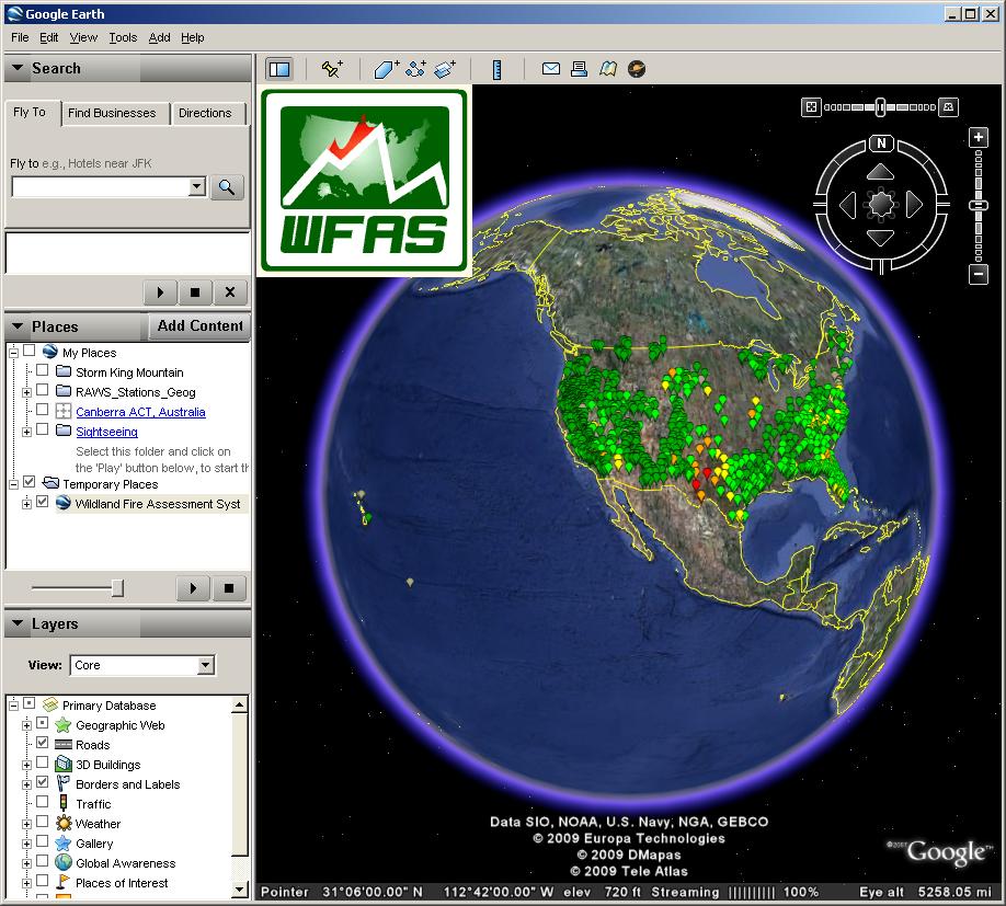
WFAS is now offering point-based map data in a Google Earth compatible format. The files are updated daily and include current weather, fire danger and fuel moisture observations as well as forecast weather conditions when available. More WFAS products will be made available in this format in the future, so keep checking back.
NOTE: The WFAS map data KML now includes links to historical weather data for each operational weather station. Just follow the links at the bottom of the marker page.
If you don't have Google Earth installed on your computer, you can download it here free of charge:
|
|
|
New Archive Search Interface |
|
We have developed a new interface to search the map image archives of WFAS. Click on the "Search Archive" link under the "WFAS" menu or Click Here to use it. |
|
|
NDFD Fire Danger Forecasts added to WFAS |
|
WFAS developers have been working on a process to use seven day forecasts from the National Weather Service to estimate future fire danger. These fire danger forecasts are being produced at 6:00 AM Mountain Time each day for the current day and the next six days. Images of the forecast Energy Release Component for Fuel Model G are currently being provided and future enhancements will offer more indices, components and fuel moistures as well as more comprehensive analysis tools.
Click Here for more details

|
|
|
<< Start < Prev 1 2 Next > End >>
|
| Results 1 - 4 of 6 |