 |  |
| |
|
|
||||||||||||||||
|
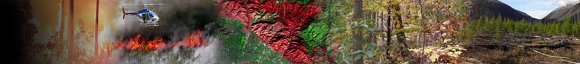
About LANDFIRE
 Data Products
Schedule
How to Participate
Documents
Training & Technology Transfer

 National Schedule  |
Data Products ›› Updated Products ›› Refresh Refresh Fuel Loading Models
Ottmar, R. D.; M. F. Burns, J. N. Hall, and A. D. Hanson. 1993. CONSUME users guide. Gen. Tech. Rep. PNW-GTR-304. U.S. Department of Agriculture, Forest Service, Pacific Northwest Research Station. Portland, OR. 17p.
|

 LANDFIRE National LANDFIRE NationalVegetation Dynamics Models now available
|
||||||||||||||
|
||||||||||||||||


