

Images & Animations
-
Credit
Jacques Descloitres, MODIS Rapid Response Team, NASA/GSFC
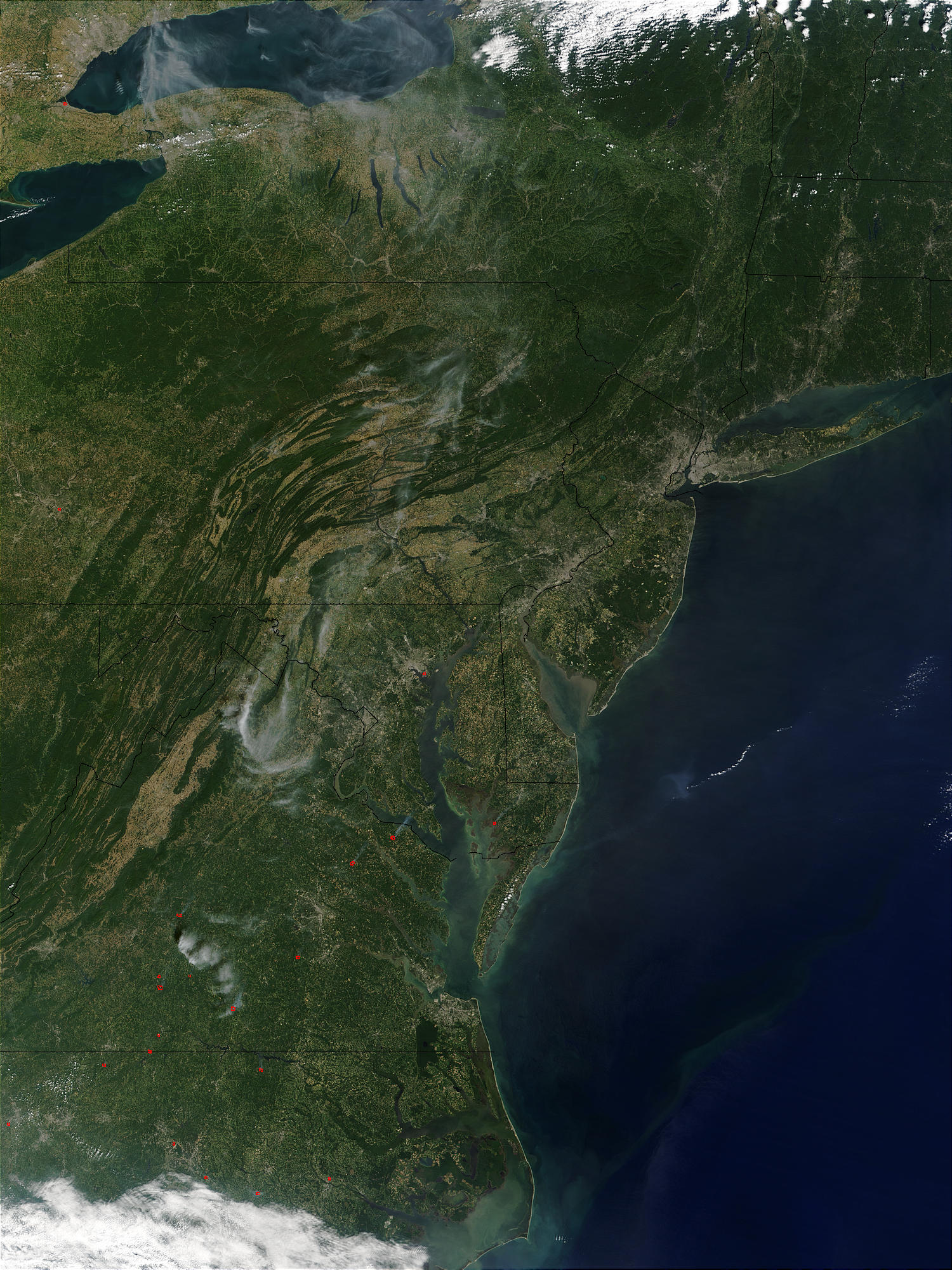
On September 13, 2002, the Moderate Resolution Imaging Spectroradiometer (MODIS) on the Terra satellite captured this image of the eastern United States. From south to north (and west to east in rows), states pictured are North Carolina; West Virginia, Virginia, Maryland, and Delaware; Pennsylvania and New Jersey; New York, Connecticut, and Rhode Island; Massachusetts; Vermont; and New Hampshire. At top left are lakes Erie and Ontario. Fires were detected by MODIS in North Carolina, Virginia, and Maryland, and are marked with red dots.
Metadata
-
Sensor
Terra/MODIS -
Visualization Date
2002-10-09