|
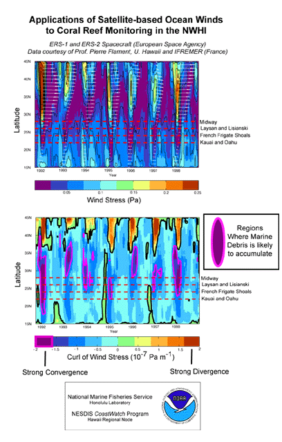
The potential of TOPEX/Poseidon and other remotely sensed data in
identifying likely locations of marine debris is being investigated.
Complimentary remotely
sensed data sets are integrated to produce a tool that can be used to study
the SubTropical Convergence Zone (STCZ). The STCZ area is one of the primary
areas of responsibility for NMFS Honolulu Laboratory, and soon to be subject to
much wider scrutiny due to it's role in the transport and
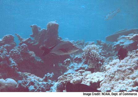
subsequent anchoring of marine debris to the coral
reefs of the Hawaiian Archipelago.
By its nature a
convergent zone has endemic cloud cover, complicating
the use of sensors that require visible and infrared
radiation signals from the ocean surface. Thus a group
are working to develop new products using data from
microwave and radio frequency sensors which can "see"
through the clouds. Spaceborne altimeter data is one of
these tools. These theories will soon be put to test in
early 2000, when the Hawaii CoastWatch satellite
imaging team will use the remotely sensed data sets to
guide a Coast Guard vessel in the search for debris in
the open ocean.
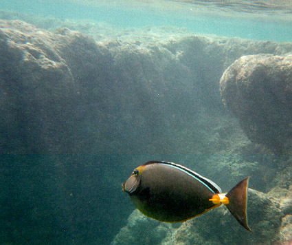
Remotely sensed data are also used to monitor and assess coral reef ecosystems, which are
sensitive to changes in ocean temperature.
|