Follow this link to skip to the main content
NASA Logo - Jet Propulsion Laboratory vertical line    + View the NASA Portal
Jet Propulsion Laboratory NASA California Institute of Technology
JPL Home JPL Home Page - Earth JPL Home Page - Solar System JPL Home Page - Stars and Galaxies JPL Home Page - Technology
This is the Banner Image
For News Media
For Scientists
Home
Mission
News
Science
Data
Products
Technology
Multimedia
Documents
Team
Ask AIRS
Data User Registration
 

Most Visited:

 
  1. Daily Maps
  2. Hurricane Dean
  3. Hurricane Noel
  4. Tropical Cyclone Sidr
  5. Tropical Storm Kiko
Measuring Earth's atmosphere to advance our knowledge of weather and climate
infrared image

Hurricane Gustav Over Louisiana

The infrared, microwave, and visible light sensors of the AIRS instrument capture Gustav, now a category 1 hurricane. Read More >>

AIRS Update - Weather
AIRS Update - Climate
AIRS Science Team Meeting
Scientists talk about AIRS
AIRS News
Carbon Monoxide at 500 millibars, August 18, 2007 Carbon Monoxide Transport Around the Globe, July 20 through August 28, 2007
This visualization made from data collected by the Atmospheric Infrared Sounder shows the transport of carbon monoxide around the globe.
AIRS Carbon Monoxide 
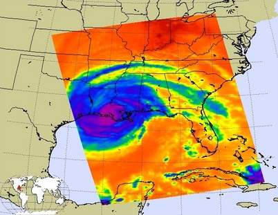
NEW NASA AIRS DATA TO AID WEATHER, CLIMATE RESEARCH
New and improved AIRS data measurements have just been released, including better temperature and water vapor profiles. The new data also add profiles of carbon monoxide, methane and ozone, as well as warning 'flags' to identify concentrations of sulfur dioxide and dust.
AIRS CO2 AIRS Global Map of Carbon Dioxide from Space
Although originally designed to measure atmospheric water vapor and temperature for weather forecasting, scientists working with the Atmospheric Infrared Sounder (AIRS) instrument on the NASA Aqua Spacecraft are now using AIRS to observe atmospheric carbon dioxide.
AIRS Maps
AIRS Maps
Link to 'Daily Weather Maps'
USA GOV
NASA Logo