Advanced Very High Resolution Radiometer (AVHRR)
|
|
|
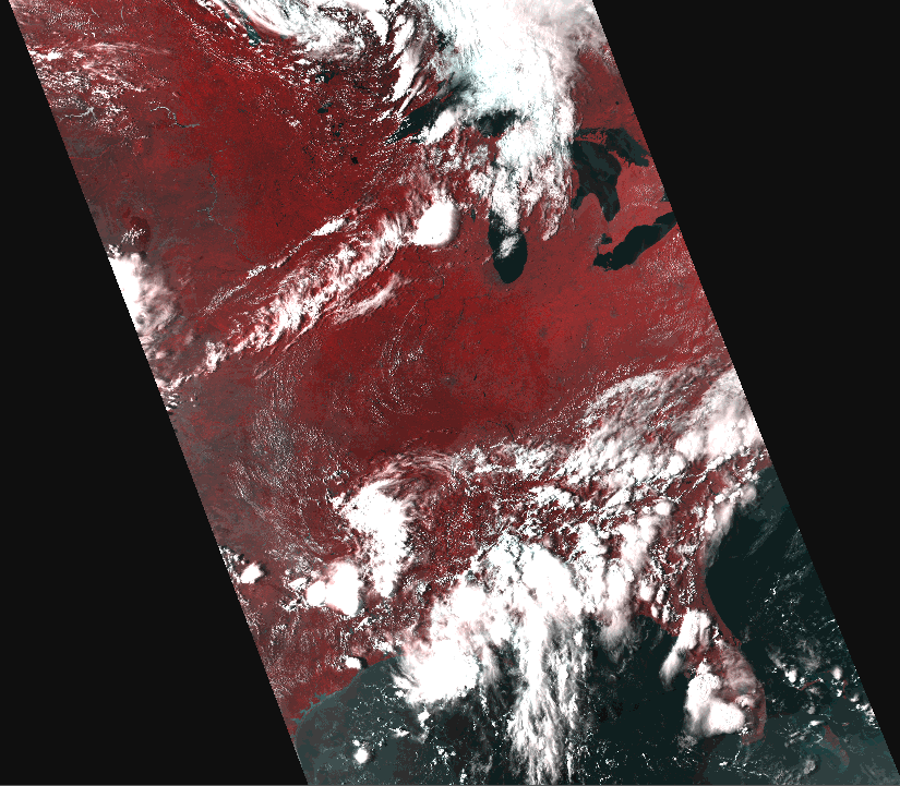
AVHRR Level 1B scene
(Central and Southeastern United States)
|
Product Description
The Advanced Very High Resolution Radiometer
(AVHRR) provides four- to six-band multispectral data from the NOAA polar-orbiting
satellite series. There is fairly continuous global coverage since June 1979, with
morning and afternoon acquisitions available. The resolution is 1.1 kilometer at nadir.
The number of available bands will depend on the satellite.
Satellite information is listed here.
The USGS produces a series of derived AVHRR NDVI composites and
Global Land Cover Characterization (GLCC) data.
Raw (Level 1b) data consists of a single
scene that was collected by a single AVHRR satellite on a specific date and time. The
approximate scene size is 2400 x 6400 kilometers (1491 x 4000 miles). Public distribution
is via the NOAA Satellite Active Archive.
Additional Information:
Back to Top
Search
Back to Top