DATA CENTER
INFORMATION CENTER
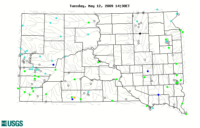
- Current South Dakota
Radar Images
ABOUT THE SOUTH DAKOTA Water Science Center
USGS IN YOUR STATE
USGS Water Science Centers are located in each state.

|
Water Resources of South Dakota
Welcome to the USGS Web page for water resources in South Dakota. Here, you will find information on South Dakota's rivers and streams. You will also find information
on ground water, water quality, and many other topics. The USGS operates the most extensive satellite network of stream-gaging stations in South Dakota, many of which form
the backbone of flood-warning systems.
|
|
|
Project Highlights
Madison Aquifer Study in Rapid City Area
The U.S. Geological Survey (USGS) and the city of Rapid City have had a long-term cooperative relationship to conduct hydrologic investigations to better understand the complex system that supplies water to Rapid City and the surrounding area. The objectives of the study include maintaining a water-level monitoring network, conducting aquifer tests, analyzing ground-water flow paths using environmental and anthropogenic tracers, compiling and evaluating water budgets, and developing conceptual and numerical models of the aquifers.
 Several reports are available for this project, including: (1) A conceptual model of the Madison and Minnelusa aquifers in the Rapid City area, and (2) Analysis of ground-water flow in the Madison aquifer using fluorescent dyes. Additional information about this project also is available.
Other highlights are:
|
Featured Publication
The report "Hydrologic Characterization for Spring Creek and Hydrologic Budget and Model Scenarios for Sheridan Lake, South Dakota, 1962-2007" was completed in cooperation with the South Dakota Game, Fish and Parks. The report summarizes a study of Sheridan Lake and Spring Creek to assess the feasibility of releasing water from Sheridan Lake to sustain and/or enhance the fishery in Spring Creek below Sheridan Lake. The report presents hydrologic information relevant to management of water resources associated with Sheridan Lake. This effort examined hydrologic data for a base period of 1962 through 2006, and included development of a hydrologic budget for Sheridan Lake for this timeframe, and development of an associated model for simulation of storage deficits and drawdown in Sheridan Lake for hypothetical release scenarios from the lake. The report is available at http://pubs.usgs.gov/sir/2009/5059/.

|
USGS in the News
- How climate 'changed' the Mighty Mo (April 26, 2009)
- Encounter Center progam: Climate change (April 23, 2009)
- Water conference in Rapid City (April 23, 2009)
- Hydrology conference to focus on uranium mining, septic tanks, and more (April 15, 2009)
- Ogallala aquifer has shrunk 9 percent, new report says (April 14, 2009)
- Flood-prone area urged to 'be aware' (April 9, 2009)
- Spring showers a concern (April 6, 2009)
- Midwest still on alert: Second wave of flooding on its way (April 3, 2009)
- Local flooding nears high water mark (March 28, 2009)
- Heavy rainfall causes problems (March 24, 2009)
- Local flooding? (March 22, 2009)
- Columbia Flooding Concerns (March 19, 2009)
- Something's in the water (February 25, 2009)
- Federal report examines water use in SD (February 5, 2009)
- Water use down overall in South Dakota (February 3, 2009)
- Lawrence County Commission tables feedlot permit decision (January 7, 2009)
- Feedlot expansion decision delayed (January 2, 2009)
- USGS hydrologist honored for studies (October 21, 2008)
- Preserving Black Hills watersheds (October 16, 2008)
|
|
|