- Centered on Midland/Odessa (~70K)
- West Texas and New Mexico (~250K)
- Texas and the Surrounding Region - Large (~350K) or Small (~100K)
- Centered on Albuquerque (~130K)
- Centered on Austin (~150K)
- View of the Lower-48 (~350K)
- Eastern U.S.A. (~50K)
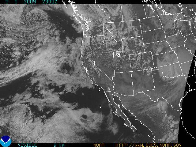
- Western U.S.A. (~50K)
 MOVIE Eastern U.S. (~350K)
 - MOVIE Western U.S. (~350K)
- Eastern North America (~650K)
- Western North America (~650K)
- GOES-8 Full Disk - daily around 18Z (~180K)
- GOES-10 Full Disk - daily around 21Z (~180K)
- Midland/Odessa - Close-up (~80K)
- Texas and the Surrounding Region (~130K)
- View of the Lower-48 (~300K)
- View of the Lower-48 (Short Wave Infrared) (~300K)
- Eastern U.S. (~40K)
- Western U.S. (~40K)
- MOVIE Eastern U.S. (~200K)
- MOVIE Western U.S. (~200K)
- Eastern North America (~500K)
- Western North America (~400K)
- GOES-8 Full Disk (~150K)
- GOES-10 Full Disk (~150K)
- Texas and the Surrounding Region (~80K)
- View of the Lower-48 (~350K)
- Eastern U.S. (~40K)
- Western U.S. (~40K)
- MOVIE Eastern U.S. (~180K)
- MOVIE Western U.S. (~180K)
- Eastern North America (~225K)
- Western North America (~200K)
Fog and Aviation Products
- Fog/Low Clouds Southern Plains (~100K)
- Aviation Icing Areas (~150K)
- Cloud Top Pressure (~120K)
-
Lifted Index (~100K)
-
Convective Inhibition (~100K)
-
Precipitation Products -
Total Precipitable Water (mm) (~100K)
Stability Products
Atlantic Ocean
- Infrared Western Atlantic (~60K)
- Visible Western Atlantic (~80K)
- Water Vapor Western Atlantic (~50K)
- Infrared Eastern Atlantic (~20K)
- Visible Eastern Atlantic (~20K)
- Water Vapor Eastern Atlantic (~20K)
Pacific Ocean
- Tropical Infrared (~60K)
- Tropical Visible (~80K)
- Tropical Water Vapor (~50K)
- Infrared Western Pacific (~50K)
- Visible Western Pacific (~50K)
- Water Vapor Western Pacific (~50K)
- CIMSS Tropical Storms Link to Images and Model Data
MTSAT -- over 135° East Longitude
METEOSAT-7 -- over Zero° Longitude
METEOSAT-5 -- over 63° East Longitude
METEOSAT-7 -- over Zero° Longitude
METEOSAT-5 -- over 63° East Longitude
- Colorado State University
- COMET Satellite Meteorology
- NASA -- Global Hydrology and Climate Center
- NASA -- GOES Project
- NOAA -- GOES Server Page
- U.S. Navy Satellite Products
- NOAA/NESDIS Forecast Products Development Team
- Ohio State University
- RAMSDIS On-line
- Texas A&M University
- Texas Natural Resources Conservation Commission (TNRCC)
- Tropical Rainfall Measuring Mission (TRMM)
- University Corporation for Atmospheric Research(UCAR)
- University of Hawaii
- University of Wisconsin -- Space Science and Engineering Center
- University of Wyoming