Southwest Kansas Drought Page
Last Updated May 08, 2009
This page will be updated approximately once a month or as conditions warrant.
SW Kansas Drought Summary: La-Nina circulation anomalies continued to weaken during April. In fact, the storm track became a bit stronger than normal allowing well above normal precipitation amounts to occur across much of southwest Kansas. Monthly totals included Dodge City with 3.60 inches, 1.35 above normal, and Medicine Lodge having 4.85 inches, 2.15 wetter than average. For the shorter term, drought conditions have generally been alleviated.

The U.S. Drought Monitor is a weekly collaborative effort between a number of federal agencies including NOAA/NWS, U.S. Department of Agriculture and the National Drought Mitigation Center.
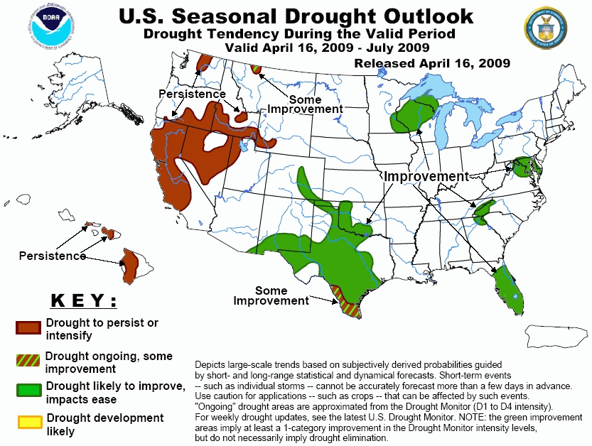
Drought Outlook Through July:The official forecast suggests an equal likelihood of near, above or below normal precipitation through July. In reality the spatial pattern of amounts may be quite variable due to thunderstorms.

Climatological Summary:During April the jet stream was anomalously strong and shifted southward across the country. That allowed precipitation to be at least 100-200 percent above normal, including amounts in excess of 5 inches over parts of south central Kansas. La-Nina has weakened, and whether or not the latter makes another comeback later this year is unclear.

Comments or suggestions for this page are welcomed. Please email our webmaster: w-ddc.webmaster@noaa.gov