Graphical and Digital Forecast Products
Click on the map below for the latest forecast.
Last map update: Sat, May. 9, 2009 at 9:02:45 pm EDT
Read watches, warnings & advisories
National Weather Service Indianapolis, IN National Weather Service Wilmington, OH National Weather Service Pittsburgh, PA
National Weather Service Louisville, KY
Zoom
Out

National Weather Service Charleston, WV
National Weather Service Nashville, TN National Weather Service Morristown, TN National Weather Service Blacksburg, VA
Flash Flood Watch
Flood Warning
Flood Advisory
Hazardous Weather Outlook
Short Term Forecast


 Area Text Forecast Products
Product Abbr. Available Items Help
Regional Weather Summary
RWS Last Issued:
3:16 PM Sat May 9th 2009
newest 2 3 4 5 6 7 8 9 10  
Issued twice daily around 4 AM/PM, providing a brief weather summary and forecast for our local forecast area.
Short Term Forecast
NOW Last Issued:
5:20 PM Sat May 9th 2009
newest 2 3 4 5 6 7 8 9 10  
An overview of weather trends during the next 1 to 6 hours. Normally issued only when precipitation or hazardous weather is occurring.
Zone Forecast Product
ZFP Last Issued:
8:49 PM Sat May 9th 2009
newest 2 3 4 5 6 7 8 9 10  
A county-by-county forecast written in plain text for the next 7 days. Includes any long-term watches, warnings, and advisories.
Forecast Discussion
AFD Last Issued:
8:18 PM Sat May 9th 2009
newest 2 3 4 5 6 7 8 9 10  
A technical discussion of the meteorological reasoning behind the forecast.
Hazardous Weather Outlook
HWO Last Issued:
4:20 PM Sat May 9th 2009
newest 2 3 4 5 6 7 8 9 10  
Used for communicating the potential for hazardous weather, and preparedness for spotter activation.
Special Weather Statement
SPS Last Issued:
4:56 AM Sat May 9th 2009
newest 2 3 4 5 6 7 8 9 10  
Product issued to provide information on upcoming hazardous weather events or near term events that, while not severe, may cause inconveniences to public and other interests.
Area Forecast Matrices
AFM Last Issued:
3:29 PM Sat May 9th 2009
newest 2 3 4  
A spatially-averaged forecast for the next 60 hours in matrix format.
Point Forecast Matrices
PFM Last Issued:
3:30 PM Sat May 9th 2009
newest 2 3 4  
A point forecast for the next 60 hours in matrix format.
Coded Cities Forecast
CCF Last Issued:
3:27 PM Sat May 9th 2009
newest 2 3 4 5 6 7 8 9 10  
A coded forecast for select cities in our forecast area.  Information includes high and low temperatures, and 12-hour probability of precipitation.


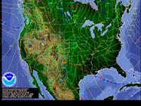
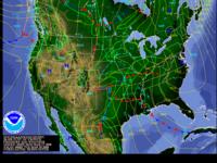
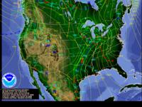
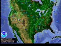
 National Forecast Products provided by the Hydrometeorological Prediction Center
12 Hour
Fronts/Precipitation
Click to view latest 12-hour fronts/precip forecast
24 Hour
Fronts/Precipitation
Click to view latest 24-hour fronts/precip forecast
36 Hour
Fronts/Precipitation
Click to view latest 36-hour fronts/precip forecast
48 Hour
Fronts/Precipitation
Click to view latest 48-hour fronts/precip forecast
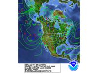
Day 3 Fronts
Click to view latest Day 3 fronts forecast
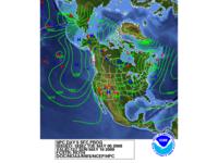
Day 4 Fronts
Click to view latest Day 4 fronts forecast
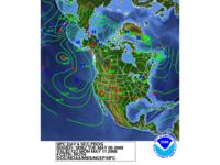
Day 5 Fronts
Click to view latest Day 5 fronts forecast
Day 6 Fronts
Click to view latest Day 6 fronts forecast
 
 Additional Forecast Information
 

  • National Weather Service
  • Jackson, KY Weather Forecast Office
  • 1329 Airport Road
  • Jackson, KY 41339
  • 606-666-8000
  • Page Author: JKL Webmaster
  • Web Master's E-mail: w-jkl.webmaster@noaa.gov
  • Page last modified: 7-Feb-2008 7:17 PM UTC
USA.gov is the U.S. government's official web portal to all federal, state and local government web resources and services.