Skip Navigation
NOAA
weather.gov
National Weather Service Weather Forecast Office
Paducah, KY
Search for:
NWS
All NOAA
Home
Site Map
News
Organization
Local forecast by
"City, St" or Zip Code
Current Hazards
Watches / Warnings
Outlooks
U.S. Hazards
Hurricane Info
eSpotter
Severe Weather Briefings
Severe Weather Information
Current Conditions
Observations
Satellite Images
Rivers & Lakes AHPS
Precip Estimate
Snow Cover
CoCoRaHS Summary
Radar Imagery
Local Radar
Nationwide
Evansville
Hopkinsville
Forecasts
Activity Planner
Local Area
Aviation
Fire Weather
Graphical
Text Products
Audio Products
Rivers / Hydrology
AHPS / River Info
River Forecasts
Current Stages
Climate
Local
National
More...
Weather Safety
StormReady
Weather Radio
EMWIN
SKYWARN spotters
Local Information
Our Office
Coop Observer
Service Guide
Our Warning Area
Customer Service Workshop Findings
Emergency Manager Page
Education/Training
Science/Research
Weather Education
Past Weather Events
1925 Tri-State Tornado
1982 Marion Tornado
1957 Carter County MO Tornado
Model data
Contact Us
Webmaster
Feedback
Welcome to the Emergency Managers Page!
GENERAL WEATHER FORECAST INFORMATION:
Zone Forecast Product
Point Specific Forecast (click on map)
Area Forecast Matrix
Point Forecast Matrix
Graphical Forecast
Area Forecast Discussion
Long Range Forecasts
Weather Activity Planner
SEVERE WEATHER OUTLOOKS:
Hazardous Weather Outlook
SPC Day 1 Outlook
SPC Day 2 Outlook
SPC Day 3 Outlook
SPC Days 4-8 Outlook
Severe Wx Conference Calls
PRODUCTS/INFORMATION FOR ONGOING WEATHER:
E-Spotter Website
Special Weather Statement
Short Term Forecast
SPC Mesoscale Discussion
Local Storm Reports
National Storm Reports
WATCHES, WARNINGS, & ADVISORIES:
SPC Watches
Watch County Notification
Weather Hazards-Natl Map
Radar and Warnings Page
Current Warnings, Statements and Bulletins (click previous version to see older products):
Tornado Warning
SVR Thunderstorm Warning
Severe Weather Statement
Non-Precip Bulletin
Winter Weather Bulletin
DOPPLER RADAR:
Paducah, KY Radar
Evansville, IN Radar
Ft. Campbell, KY Radar
National Radar Image
Paducah Radar Outage Notification Message
Evansville Radar Outage Notification Message
Ft. Campbell Radar Outage Notification Message
ROAD CONDITIONS:
Natl Traffic/Road Closures
Kentucky Road Conditions
Illinois Road Conditions
Missouri Road Conditions
Indiana Road Conditions
MISCELLANEOUS LINKS:
US Hazards Map
Weather Modules for Emergency Managers
AIR QUALITY:
Air Quality Forecasts
Air Quality Information
Page Updated: April 18, 2009
HYDROLOGY:
Hydrologic Outlook
Current Flood Watches
Current Flash Flood Warning
Current Flash Flood Stmt
Current Flood Warnings
Flood Warnings (product header FLW) may be issued for river forecast points or for longer term inundating flooding for counties
.
Current Flood Statements
Flood Statements (product header FLS) may be issued as a follow-up to Flood Warnings or for urban and small stream flooding.
COCORAHS Precip Summary
Turn Around Don't Drown
NWS HPC
(HYDROMETEOROLOGICAL PREDICTION CENTER) RAINFALL INFORMATION:
Excessive Rainfall Discussion
Precipitation Forecasts
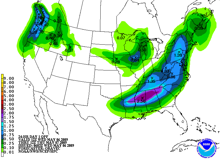
Day 1 Fcst Rain-24 hr total
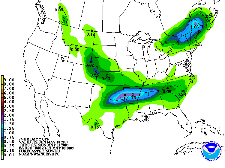
Day 2 Fcst Rain-24 hr total
Day 3 Fcst Rain-24 hr total
Days 4-5 Forecast Rainfall
(Morning Issuance)
Days 4-5 Forecast Rainfall
(Afternoon Issuance)
RIVER FLOODING:
AHPS (Advanced Hydrologic Prediction Service)
Area Hydrographs
Hydrologic Summary
Hydrologic Stmt- (Forecasts)
Significant River Flood
Ohio River Forecast Center
Lower Mississippi RFC
North Central RFC
FIRE WEATHER INFORMATION:
Fire Weather Forecast
Graphical Forecast
Red Flag Warning
Observations
SPC Day 1 Fire Wx Outlook
SPC Day 2 Fire Wx Outlook
SPC Day 3-8 Fire Wx Outlook
SPC Fire Analysis Page
US Observed Fire Danger
US Forecast Fire Danger
National Fire Situation Report
Wildland Fire Assessment
Kentucky Burn Ban Map
EARTHQUAKES:
Earthquake Report
Paducah, KY Seismic Station
USGS Earthquake Website
WEATHER MODELS:
College of DuPage Page
Penn State Model Page
WEATHER ON YOUR CELL:
iNWS Mobile Ver. 1.0 (Formally - Mobile Warning Alert Messaging Application or NWS MAMA)
NWS HPC
(HYDROMETEOROLOGICAL PREDICTION CENTER) FORECAST MAPS:
Current Forecast Map
Forecast Weather Maps:
06hr
12hr
18hr
24hr
30 hr
36hr
48hr
60hr
Day 3
Day 4
Day 5
Day 6
Day 7
HPC Winter Weather Maps
HPC Heat Index Maps
HPC Weather Discussions
CURRENT WEATHER:
Visible Satellite Image
Infrared Satellite Image
Current Weather Conditions:
MO
IL
KY
IN
TN
AR
Current Regional Obs
Current Weather Map
Weather Map Loop w/ Radar
Kentucky Mesonet (WKU)
Additional Wx Observations
KYTC Roadway Weather
Observed Precipitation (U.S.)
SPC Analysis Page
SPC 24 hr Lightning Loop
OTHER NWS PRODUCTS:
Public Information Statement (damage surveys, misc info)
Civil Emergency Message
OTHER NWS LINKS:
National Hurricane Center
NWS PAH Weather Education
NWS Weather Brochures
StormReady
Skywarn Spotter Classes
EMWIN
CLIMATE:
National Climatic Data Center
Midwestern Climate Center
Illinois Climate Office
Indiana Climate Office
Kentucky Climate Center
Missouri Climate Center
ASTRONOMICAL DATA:
Sun and Moon Data
Official U.S. Time
What is Z time?
DROUGHT INFORMATION:
Drought Information Statement
National Integrated Drought Information System (NIDIS)
National Drought Mitigation
US Drought Monitor
U.S. Seasonal Drought Otlk
US Hazards Assessment
KY and National Drought Info.
MO Drought Information
IL Drought Information
Crop Moisture Index
UK Agriculture Weather Ctr
MO Ag Weather Stations
NOAA WEATHER RADIO:
NOAA Weather Radio Info
NWR Local Info
S.A.M.E. Codes
Report Wx Radio Outage
National Weather Service
Paducah, KY Weather Forecast Office
8250 Kentucky Highway 3520
West Paducah, KY 42086-9762
270-744-6440
Page Author: PAH Webmaster
Web Master's E-mail:
w-pah.webmaster@noaa.gov
Page last modified: April 18th 2009 9:34 PM
Disclaimer
Credits
Glossary
Privacy Policy
About Us
Career Opportunities