
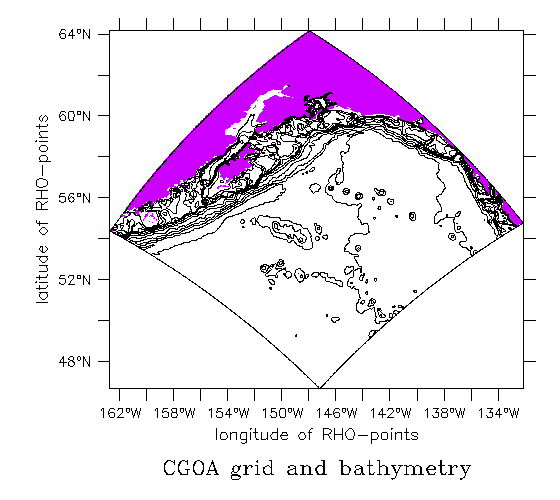
Coastal Gulf of Alaska Grid
Characteristics
|
The model was spun-up with NCEP winds during the year 2000, then run for 2001
with MM5 winds, and boundary conditions from the NEP run with MM5 winds.
Results show a strong Alaskan Coastal Current (ACC), and lots of 200-km scale eddies.
Surface floats show retention on banks and in eddies, and respond to downwelling
wind events:
| Sea Surface Height | Surface Floats and Sea Surface Height |
|---|---|

Movie of sea surface height (meters), Dec. 8, 2000 - March 14, 2001. |

Movie of sea surface height (meters) and surface floats, Dec. 8, 2000 - March 9, 2001. Floats are reset to their initial positions every 16 days. |
The time period Dec. 2000 through Feb. 2001 was re-run with NCEP forcing to
examine the effect of using the fine-scale MM5 winds. MM5's increased along-
shore orientation increases the strength of the ACC and causes eddies
to move through the area faster.
| Both Winds and Sea Surface Height Difference | Cross-sections and Surface Density |
|---|---|

Movie of surface wind from MM5 (black) and NCEP (red) in m/s, and the difference in sea surface height (MM5-NCEP, meters) between model runs forced with these winds. |

A movie density in the region with MM5 (bottom) and NCEP (top). |

Contents last updated
by
Elizabeth.Dobbins@noaa.gov
US Department of Commerce |
NOAA |
OAR |
PMEL
 http://www.pmel.noaa.gov/~dobbins/cgoa3/index.html
Links do not imply government endorsement of linkee.