Satellite Imagery
|
|
| Puerto Rico and the U.S. Virgin Islands |
|
Visible
|
IR
|
Fire Weather
|
 |
 |
 |
Additional Puerto Rico and U.S. Virgin Islands imagery and enhancements
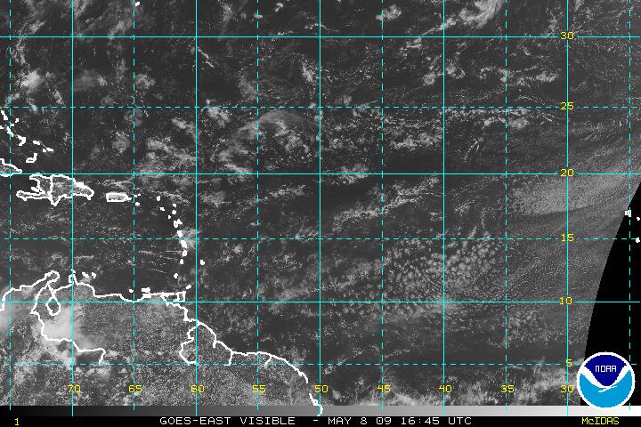
| West Atlantic Imagery |
|
Visible
|
IR
|
Water Vapor
|
 |
 |
 |
Additional West Atlantic imagery and enhancements
| Central Atlantic Imagery |
|
Visible
|
IR
|
Water Vapor
|
 |
 |
|
Additional Central Atlantic imagery and enhancements
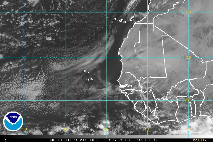
| East Atlantic Imagery |
|
Visible
|
IR
|
Water Vapor
|
 |
 |
 |
Additional East Atlantic imagery and enhancements
North Atlantic GOES and METEOSAT Satellite Images
- Movie Satellite Loops
- Tropical Satellite Imagery
- Atlantic/Tropical Satellite Imagery
- Interactive Global Geostationary Weather Satellite Images
- GOES Images of Eastern U.S. and Puerto Rico plus other places
High Resolution Satellite Images of Caribbean
- Visible Image From PR east to the Windward Islands
- Looping Visible Image From PR east to the Windward Islands
- Visible Image of Leeward Islands (Soufriere Hills Volcano)
- Looping enhanced Infrared Image of Puerto Rico and Eastern Caribbean
- Enhanced Infrared Image of Puerto Rico and Eastern Caribbean
- GOES Images and Loops of Caribbean and Atlantic Basin
- Caribbean Satellite Images
Miscellaneous Sites of Interest
- Hurricane Images
- Browse DMSP Imagery Archives
- North Atlantic Goes Satellite Derived Winds
- GOES Project Science (Current and Archive data)
- NESDIS Home Page (Current and Archive data)