North Dakota Water Science Center
|
Webcam on Red River at Grand Forks, ND 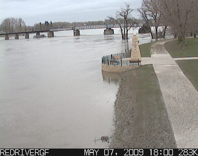
Information Center
Red River Basin
Devils Lake Basin
Missouri River Basin North Dakota Wetlands Annual Data Reports Lewis & Clark and the USGS Canoeing North Dakota's Rivers Education USGS IN YOUR STATEUSGS Water Science Centers are located in each state. 
|
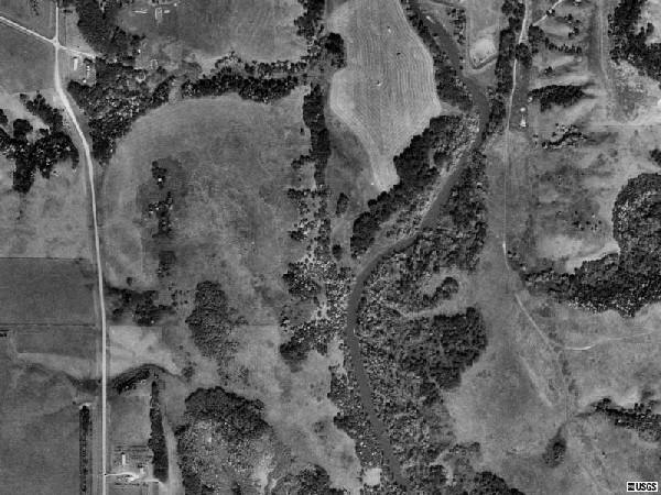
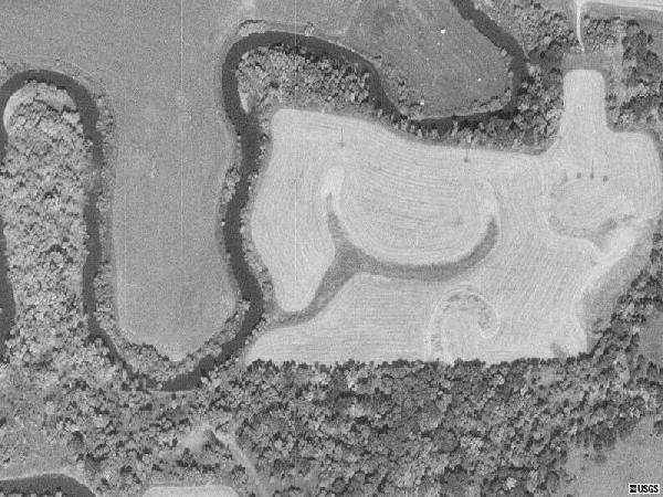
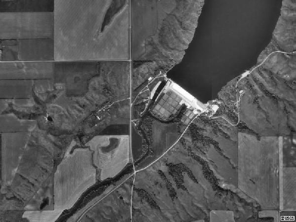
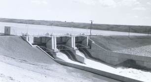
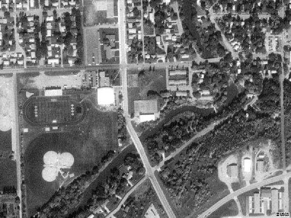
Sheyenne RiverDescriptionThe Sheyenne River originates in Sheridan County in central North Dakota and winds its way through south-central North Dakota, ultimately emptying into the Red River north of Fargo. During its lengthy course, the Sheyenne River traverses a variety of North Dakota terrains, including flat plains, rolling sandhills, wide bottomland, tall grass prairie, and hardwood forests. Sheyenne River flows are regulated by dams that form Lake Ashtabula and several smaller reservoirs. These dams provide flood control and can be used to supplement downstream discharge during low flow. Physiographic features along the Sheyenne River in North Dakota include the McClusky Canal, Sheyenne Lake, Butte Michaud, Lake Ashtabula, Baldhill Dam, Griswold Mine, and Mirror Pool. Visitors to the area also have access to a wide variety of public lands, including the Lonetree Wildlife Management Area, Fort Ransom State Park, Sheyenne State Forest, H.R. Morgan State Nature Preserve, and the Sheyenne National Grasslands. Sheyenne River Resources
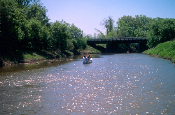
SceneryBelow are images of scenery along the Sheyenne River. Click on an image to view a larger version. Use your browser's back command to return to this page.
Canoeing Home | Sheyenne River Home | Recommendations | Maps | More |
|||||||||||||||

![]() U.S. Department of the Interior |
U.S. Geological Survey
U.S. Department of the Interior |
U.S. Geological Survey
URL: http://nd.water.usgs.gov/canoeing/sheyenne/index.html
Page Contact Information: Webmaster
Page Last Modified: Monday, 11-Feb-2008 15:52:34 EST
Menlo Park, CA [caww51]