| Graphical Hazardous Weather Outlook |
| Latest HWO Update: 1231 PM CDT FRI MAY 8 2009 |
may not always contain the latest information.

Today and Tonight |

Days 2 Through 7 |
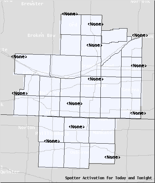
Spotter Activation |
|
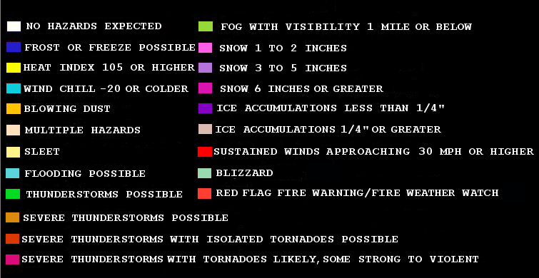
The images above show a graphical version of the Hazardous Weather Outlook product, issued twice daily by the National Weather Service in Hastings. This product details the potential for particular weather hazards for the next 7 days. Click for a text version of the product.
Click on any image above to view a much larger image detailing the current hazards for that period or to assess whether spotter activation will be needed. |
Latest Hazardous Weather Outlook Text
Today and Tonight
Days 2 Through 7
Spotter Activation