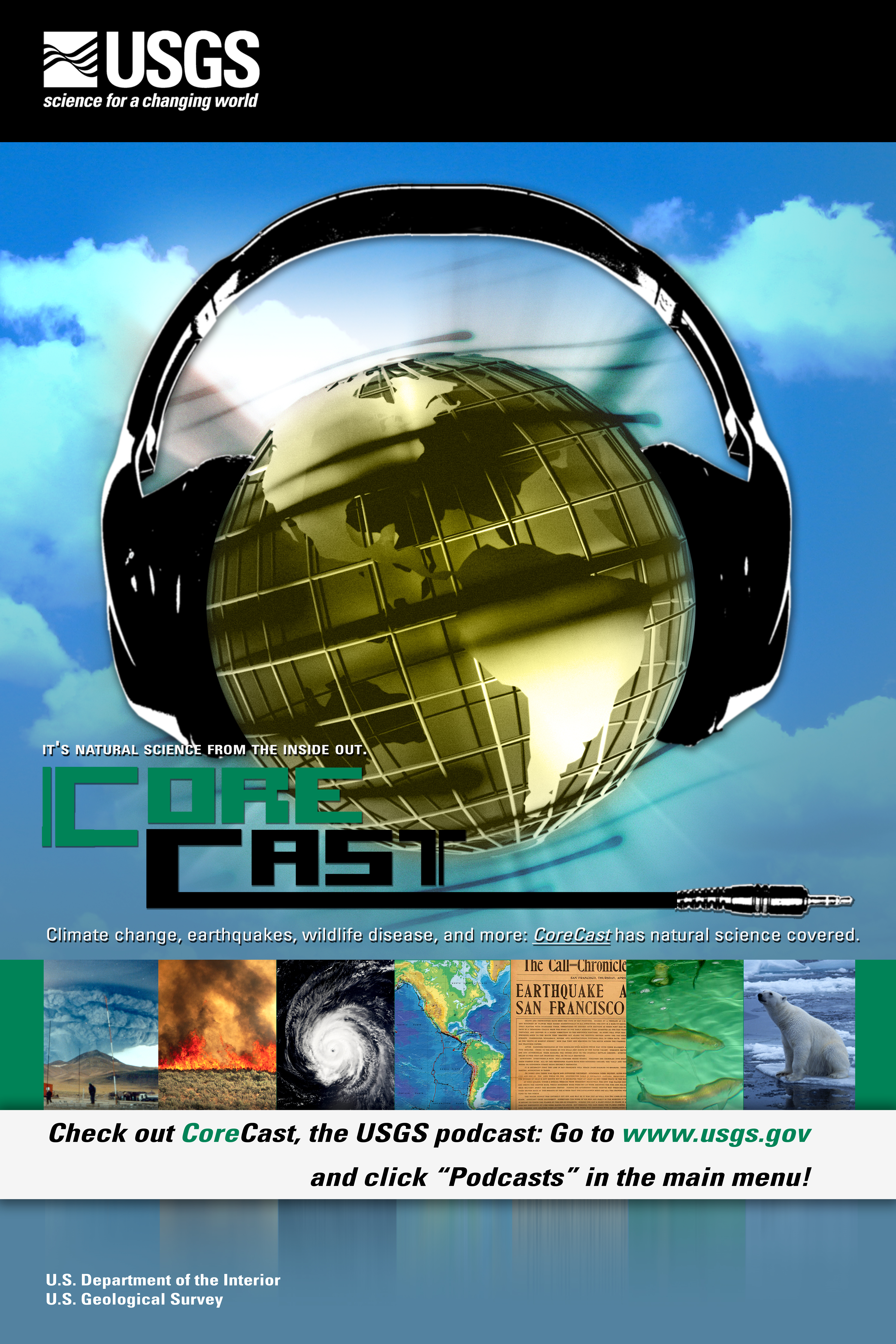
USGS CoreCast
USGS Podcasts Home > CoreCast Home Page
Can't see Flash? Install Flash Player.
|
83
|
A roundup of the December 2008 and January 2009 hazard-related events around the world, with some newsworthy tidbits.
Type: audio/mpeg
File Size: 6227351 bytes Duration: 6:24 Released: Fri, 6 Feb 2009 11:53:12 UTC |
Transcript:
Welcome and thanks for tuning in to this edition of the USGS Hazards Roundup for December 2008 and January 2009. I am Brian Campbell, your host.
December and January were fascinating months with regard to the hazards that occurred, both in terms of the range of hazards that we witnessed, as well as the nature of these hazards.Let's get into it...
On December 5, a magnitude-5.1 earthquake struck southern California.The epicenter of this quake was located 117 miles NE of downtown Los Angeles. According to Dr. Lucy Jones, a seismologist with the USGS, this quake was actually an aftershock of a much larger, magnitude-7.1 earthquake. Now you might be thinking to yourself, "I don't recall hearing about such a large quake striking southern California lately." Well, that's because a magnitude-7.1 earthquake hasn't struck southern California lately. The massive quake that triggered the aftershock on December 5 struck almost a decade ago, on October 16, 1999.
The USGS estimates that several million earthquakes occur throughout the world in any given year. Many of these quakes go undetected because they hit in remote locations or are very small in magnitude. Generally speaking, it is the largest earthquakes that garner the most attention. However, it is possible for several small earthquakes to make the news---that is, if they occur within a short period of time and beneath Yellowstone National Park, which is precisely what happened in December. Beginning on the evening of December 26 and continuing through the following week, Yellowstone National Park experienced a series of approximately five hundred small earthquakes, the largest of which was measured at magnitude-3.9 on the Richter scale. Such an occurrence is referred to as an earthquake swarm, and they are fairly common. However, this was a particularly energetic swarm and, given the fact that Yellowstone National Park possesses thermal features that could always potentially be triggered by seismic activity, the event garnered the attention of the media and public. If you wish to learn more about the earthquake swarm at Yellowstone, I encourage you to listen to Leslie Gordon's interview with Dr. Jake Lowenstern, USGS Scientist-in-Charge at the Yellowstone Volcano Observatory. This interview can be found at usgs.gov/corecast, Episode 80.
2008 drew to a close with some rather grim statistics regarding earthquakes. According to the USGS, about 88,070 deaths resulted from earthquake activity worldwide in 2008. That figure represents the largest number of earthquake-related fatalities in a single year since 2004. We can only hope that 2009 will be different.
Earthquakes are not the only hazard events that have taken place of late- far from it! January brought flooding and landslide events in Washington, drought conditions in California, and the prospect of a spectacular volcanic eruption in Alaska.
On January 6 and 7, heavy rains deluged the state of Washington. While the amount of rainfall was significant- at several locations, over 5 inches of rain fell in just 48 hrs- it was the heavy rain combined with the warm temperatures that created the perfect conditions for flooding and landslide events. Over the course of those two days, several inches of snow was melted, triggering mudslides and contributing to the rapid rise of water levels in rivers throughout the state. Residents in some areas were asked to evacuate while several major highways were closed down. It is events such as these that attest to the importance of the USGS stream gage network, which makes stream flow and precipitation data so readily available to the public. Is heavy rain and possible flooding being forecasted for your area? Feel free to visit water.usgs.gov to access location-specific, real-time data that will allow you to monitor the situation.
Californians in January could only imagine the type of rainfall that Washington was experiencing. That is because January 2009 marked the beginning of what will likely be the third consecutive year of drought conditions in California. San Diego, for example, had less than a quarter of an inch of precipitation during the month. That is down about 92% from normal, according to data obtained through the NWS. The drought conditions are not just limited to southern California, however. San Francisco experienced less than three quarters of an inch of precipitation, down about 85% from normal. Californians had better hope for rain at some point in the next two months, if they want any shot at escaping a third drought year!
Before we end this edition of the Hazards Roundup, I want to leave you with one final word- Redoubt. That's right, Mount Redoubt, a volcano located 106 miles SW of Anchorage, Alaska, is expected to erupt at some point in the next couple of days to weeks. Redoubt is considered by the USGS to be one of the nation's highest-threat volcanoes. It last erupted in 1989, sending ash plumes 40,000 feet into the air and nearly taking out a passenger 747. Currently, USGS scientists are monitoring the increased levels of seismic activity in the volcano that are usually indicative of a pending eruption. If you would like to learn more about what is happening with Mount Redoubt, I encourage you to listen to Clarice Ransom's interview with Dr. John Eichelberger, USGS Volcano Hazards Program Coordinator, at usgs.gov/corecast, Episode 81.
Well, that about wraps it up for the December 2008/January 2009 edition of the USGS Hazards Roundup. We will have to wait until next month's edition to find out what happens with Mount Redoubt, and what else Mother Nature has in store for the New Year. Until then, I'm Brian Campbell. Thanks for tuning in.
Hazards Round-Up is a product of the U.S. Geological Survey, Department of the Interior.
Mentioned in this episode: