Geographic Information Systems (GIS) provide the means for storing, querying, analyzing, correlating, modeling, and displaying digital cartographic data, remotely sensed imagery, and geographically referenced field survey and sampling data.
In the business of managing public lands, the BLM collects and utilizes this data as it relates to or describes a piece of land and the resources on and under it. Data might be information about bird nesting sites or wild horse herd use areas. It might be legal land survey information or legal descriptions of land parcels. Real-time fire progression maps and maps-on-demand are two other customer products developed from this data. The common thread is that this information is tied to the land.
This site offers base layer GIS data used by Arizona BLM for statewide mapping needs.
No warranty is made by the Bureau of Land Management as to the accuracy, reliability, or completeness of these data for individual use or aggregate use with other data.
Statewide Coverages | Arizona Strip Approved RMP | Agua Fria / Bradshaw - Harquahala DRMP/DEIS |
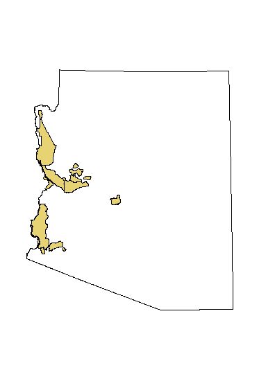
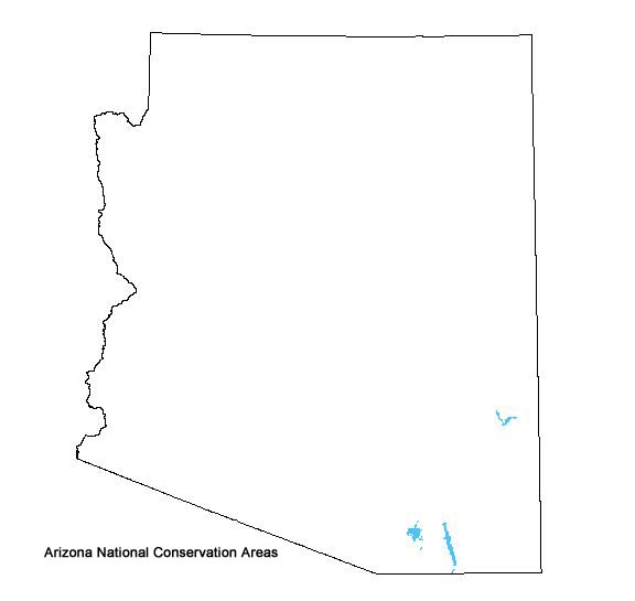
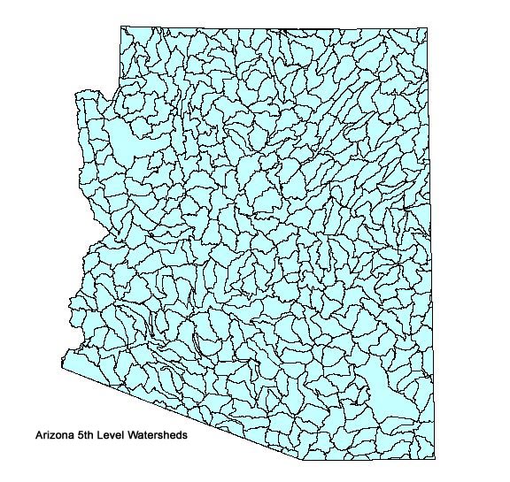
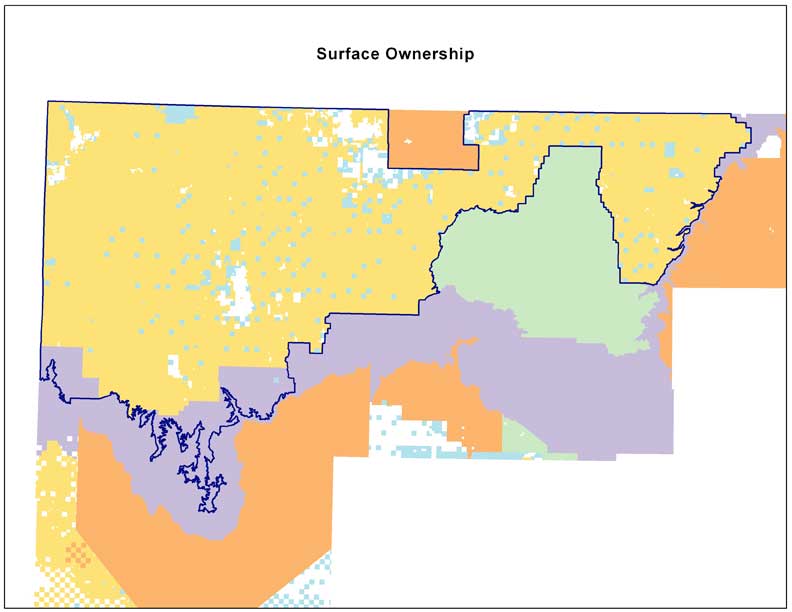
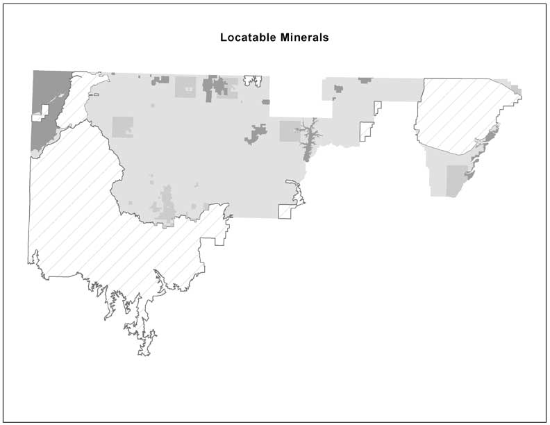
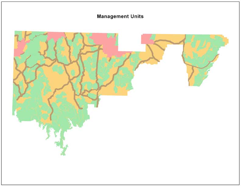
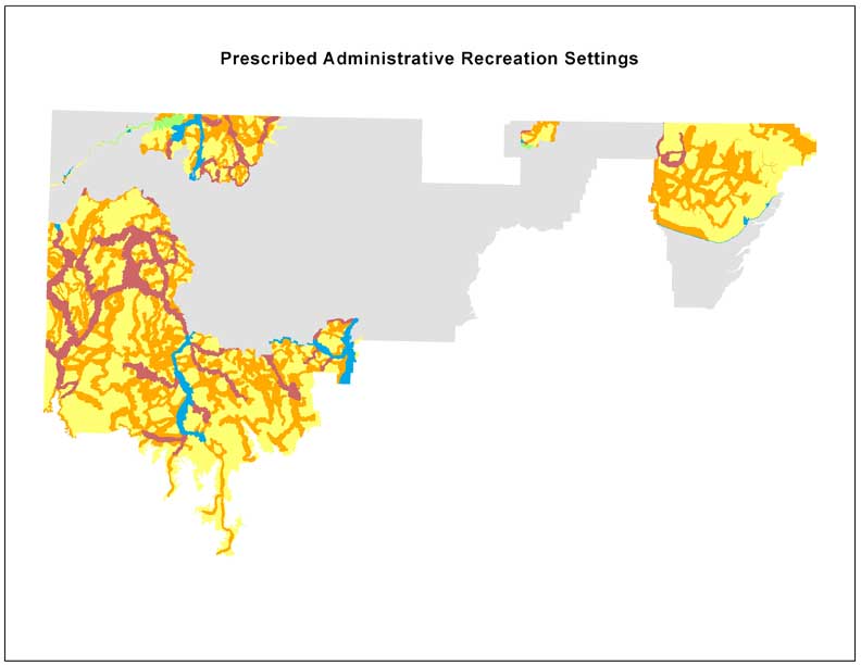
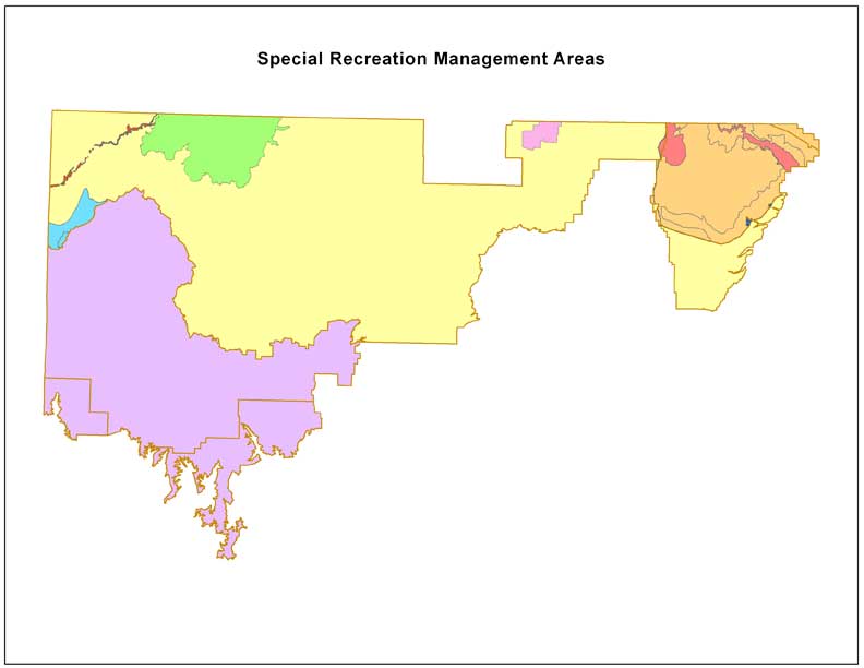
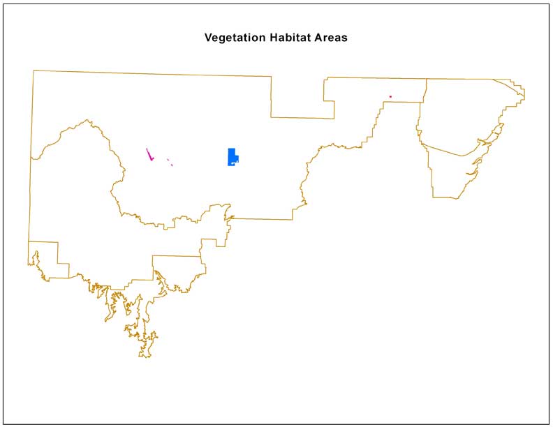
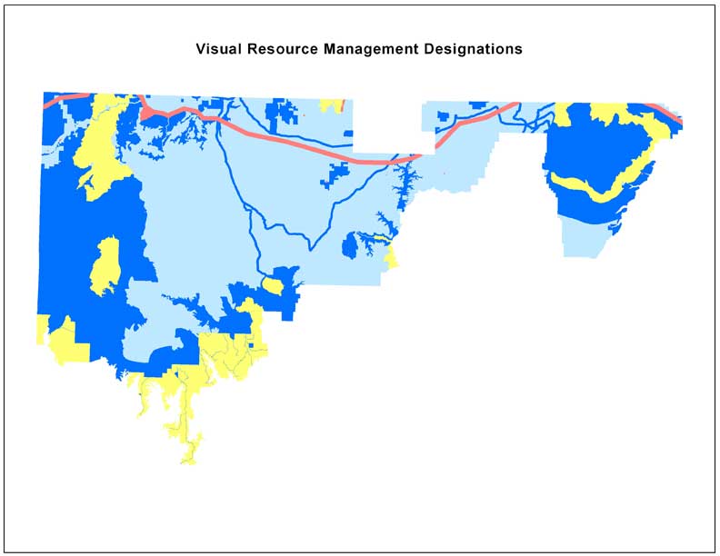
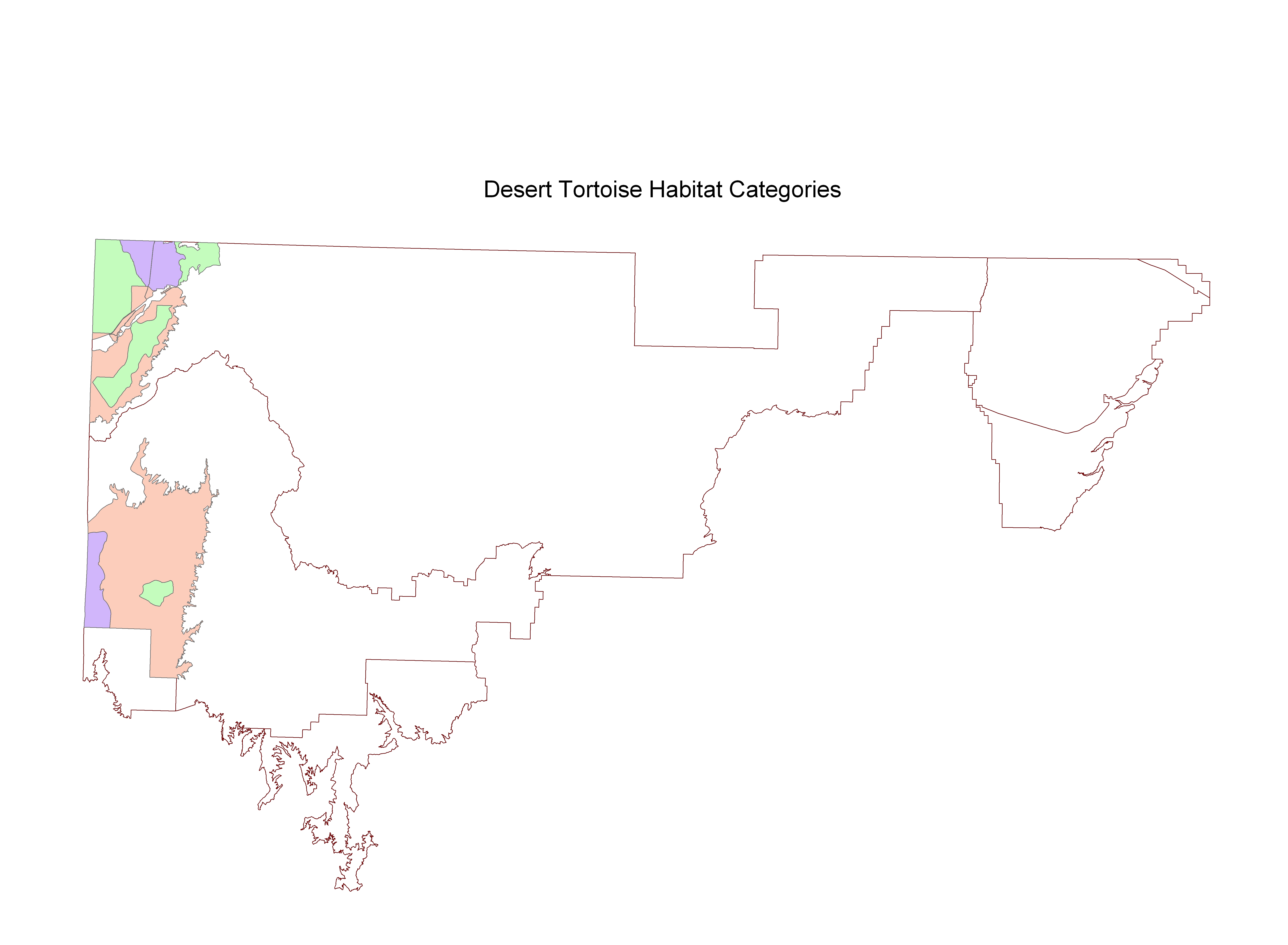
Click the description to view the data image.
Click the metadata to view the data documentation.
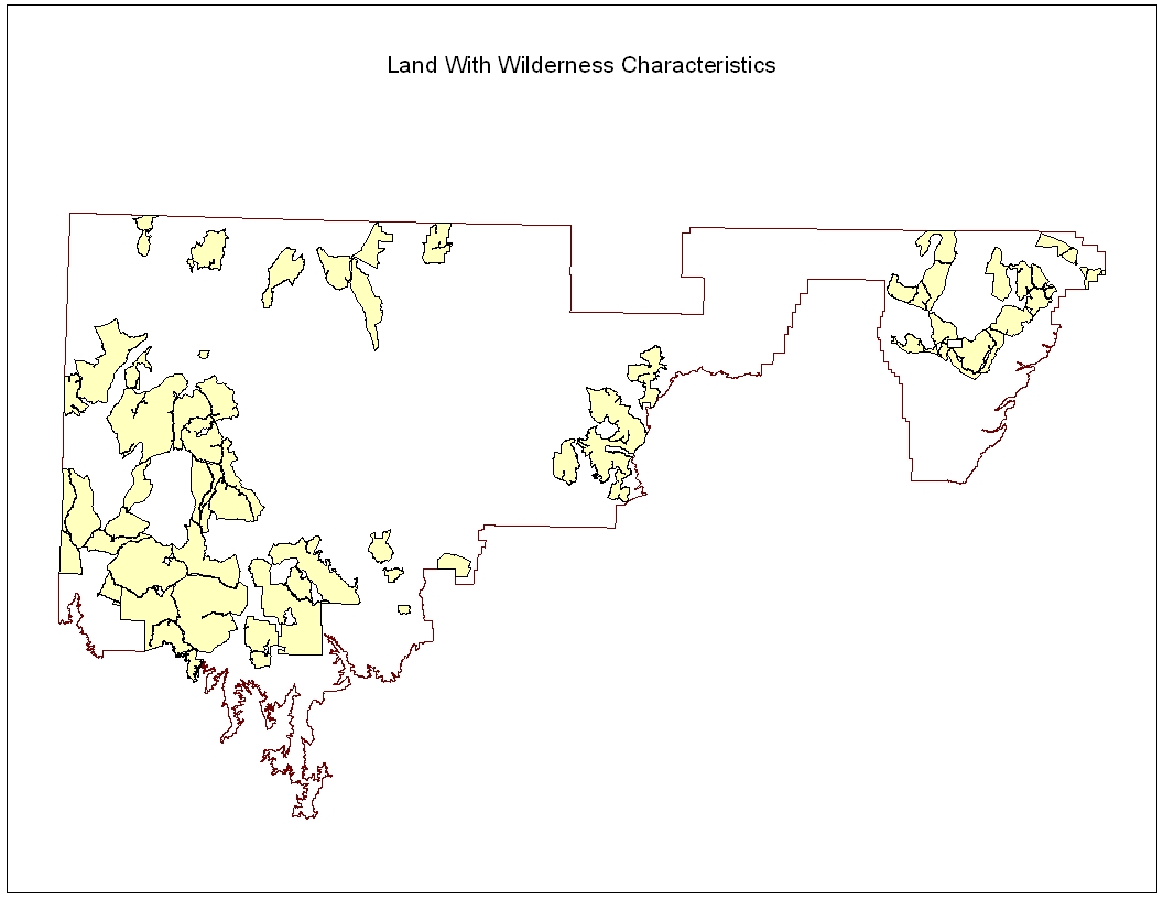
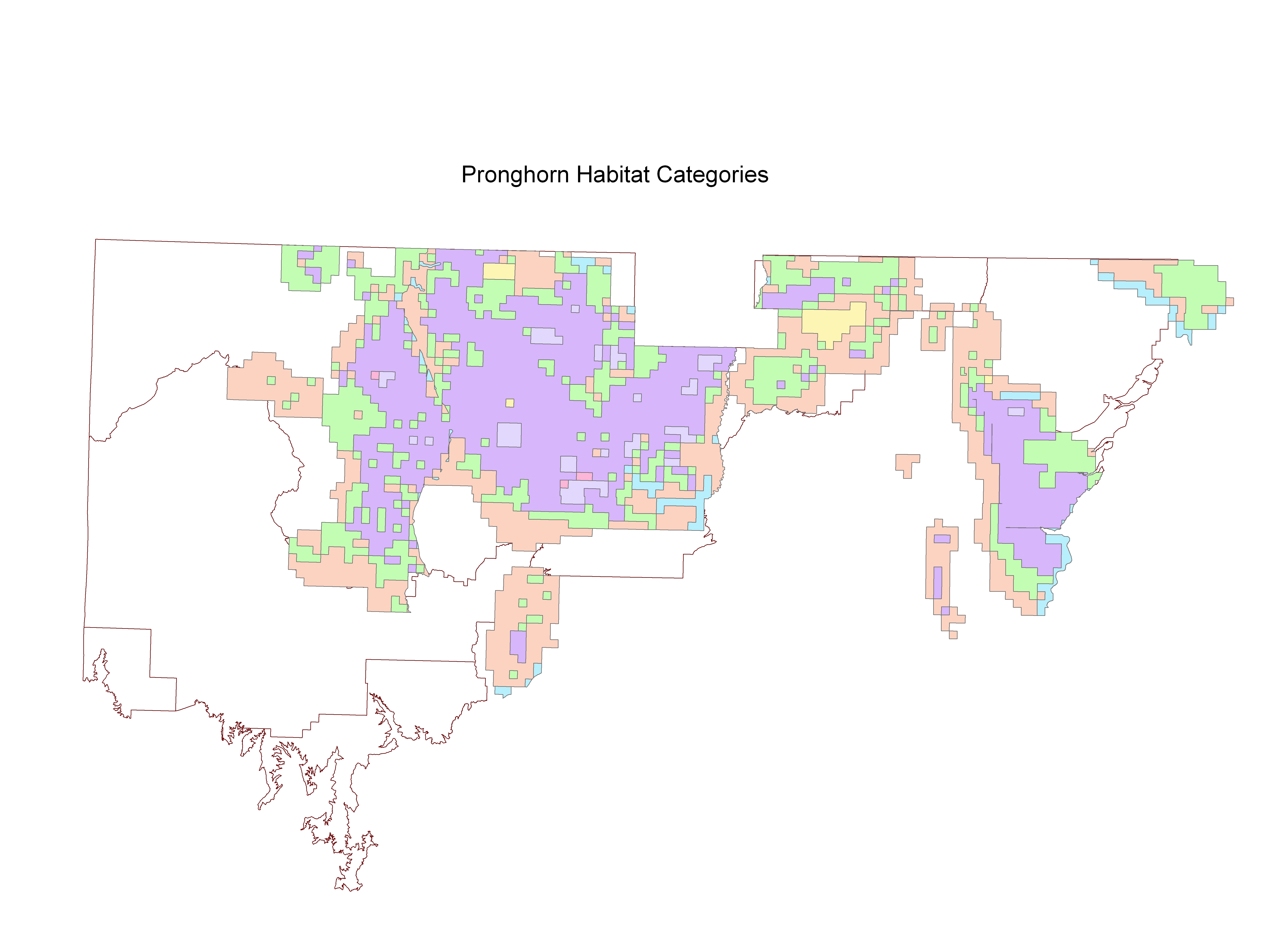
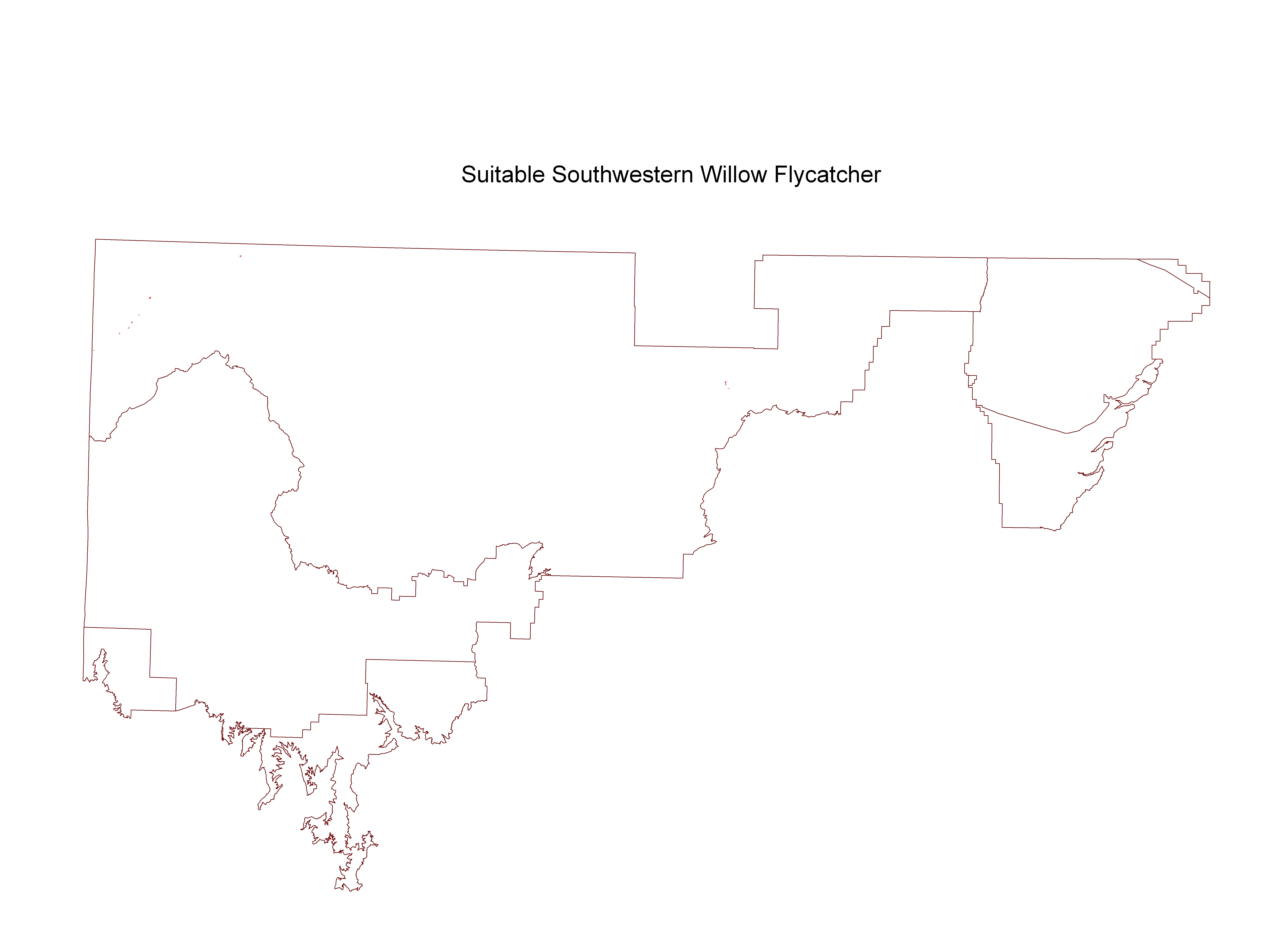
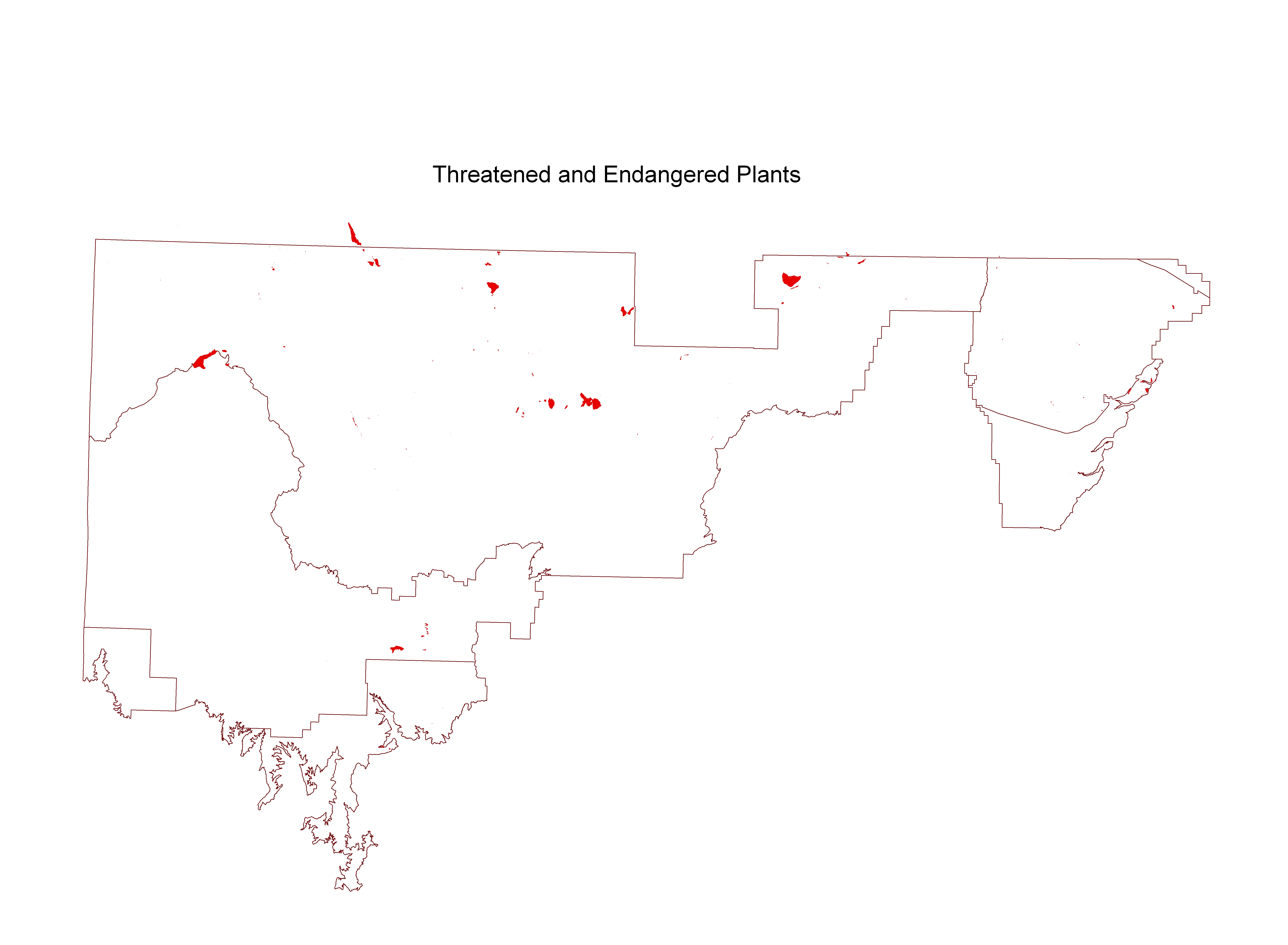
Statewide Coverages for Arizona BLM
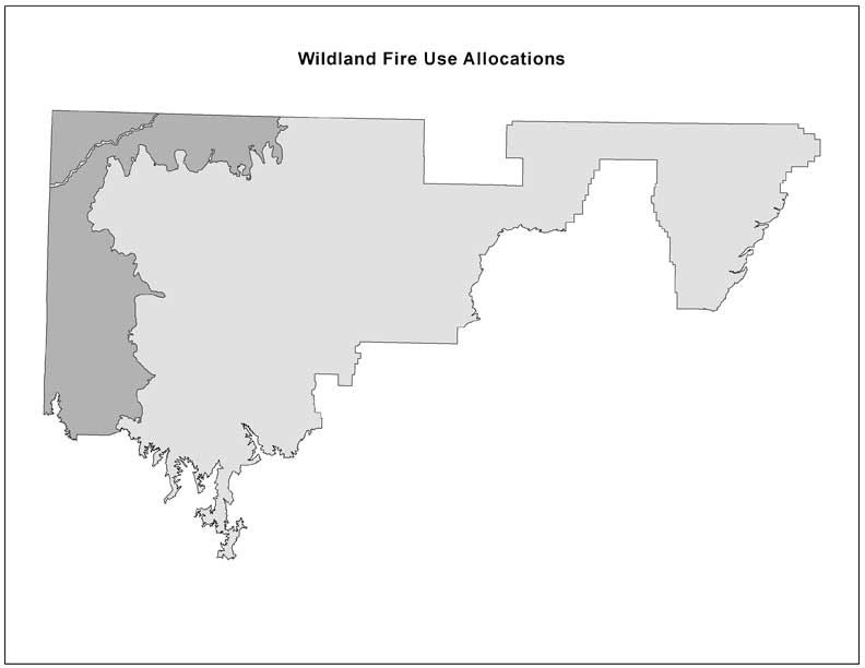
GIS Data Relating to the Arizona Strip Resource Management Plan Revision, Grand Canyon-Parashant National Monument Management Plan, and Vermilion Cliffs National Monument Management Plan Approved RMP
Chapter 1 & 2 GIS Data
Chapter 3 GIS Data
GIS Metadata Relating to the Agua Fria National Monument Management Plan and Bradshaw - Harquahala Management Plan
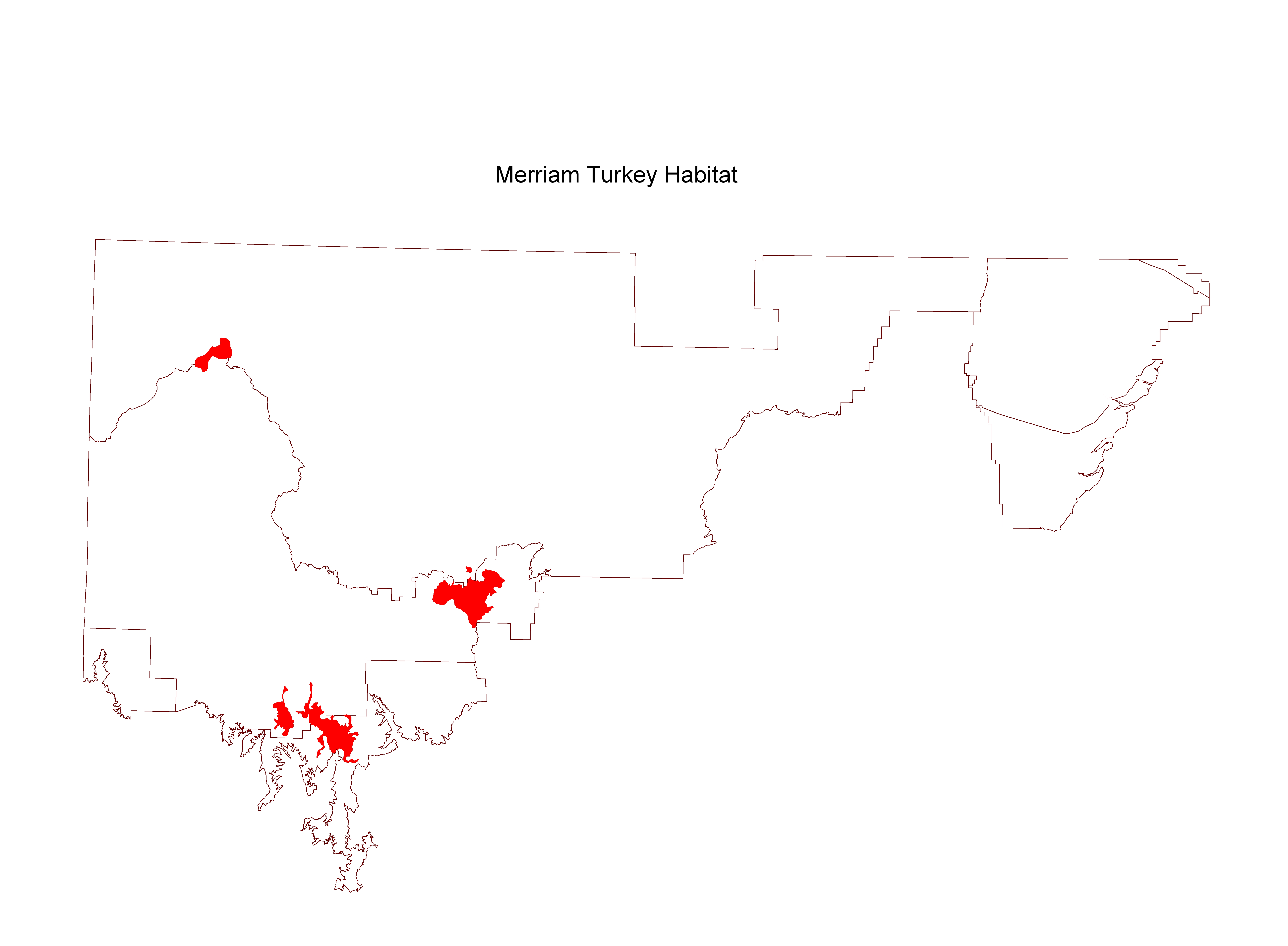
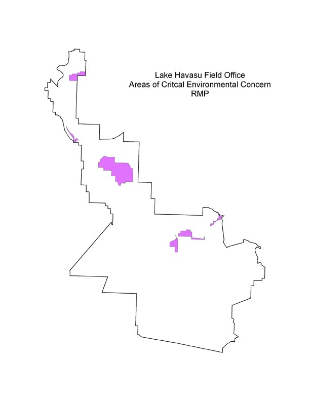
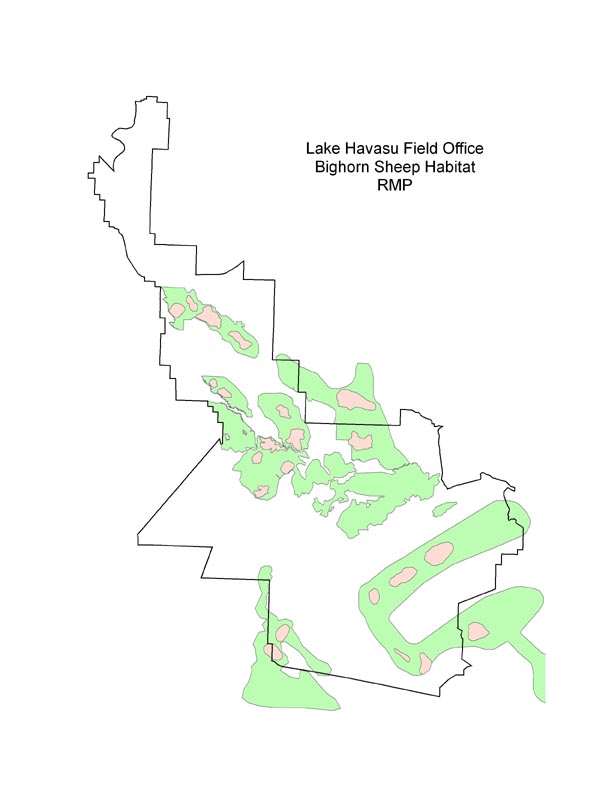
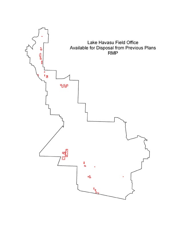
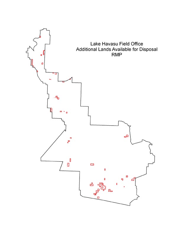
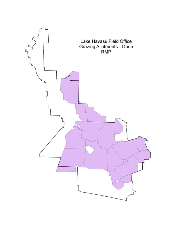
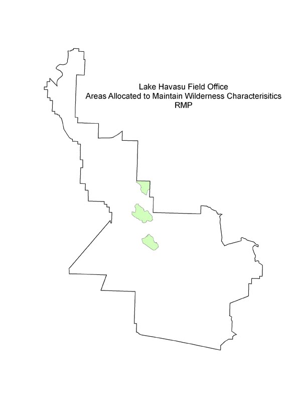
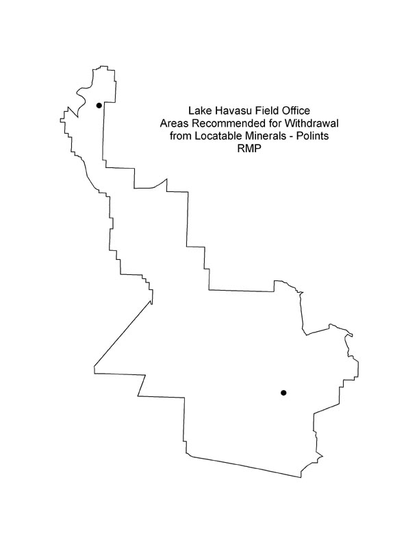
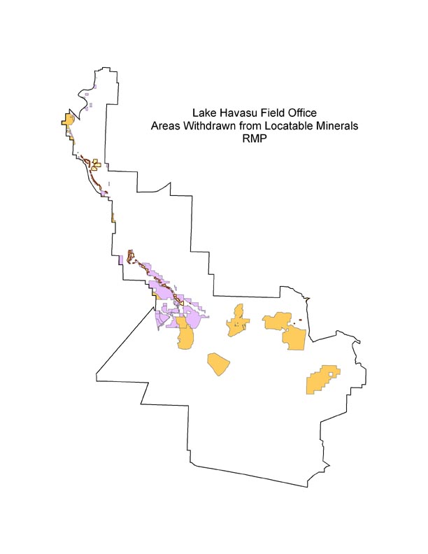
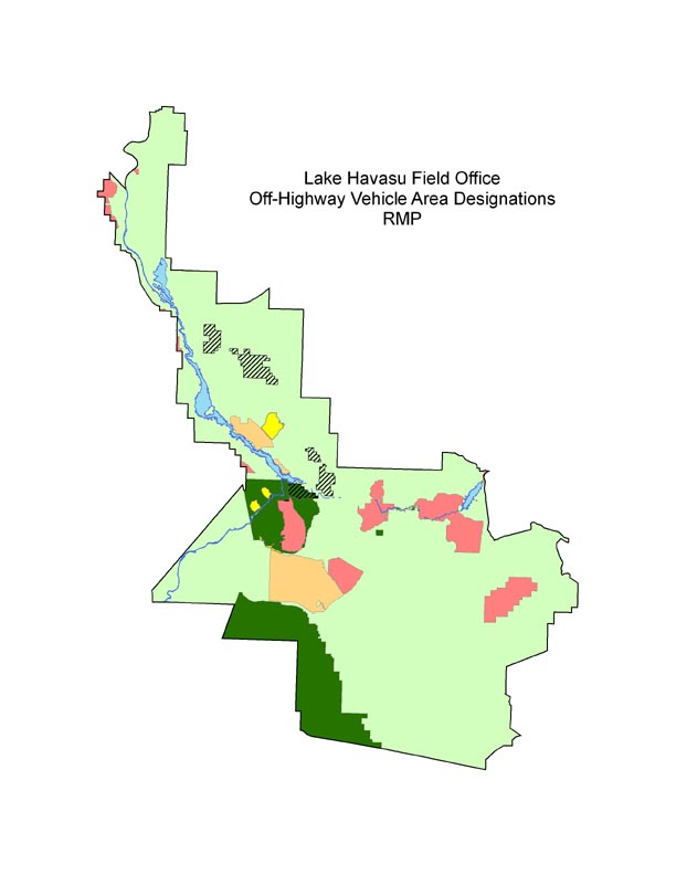
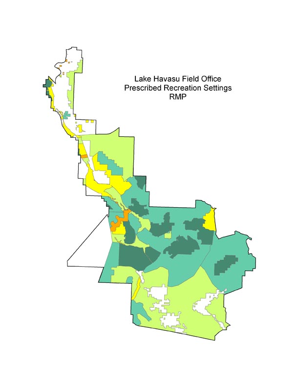
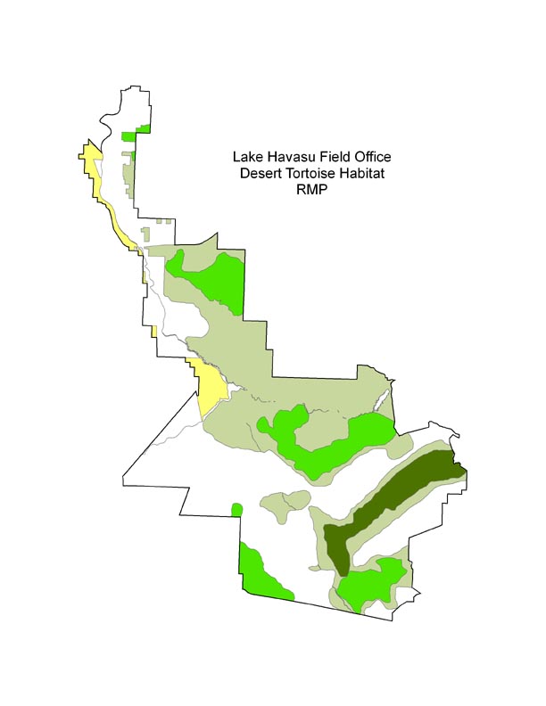
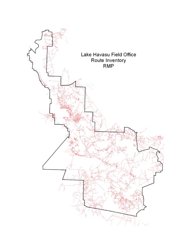
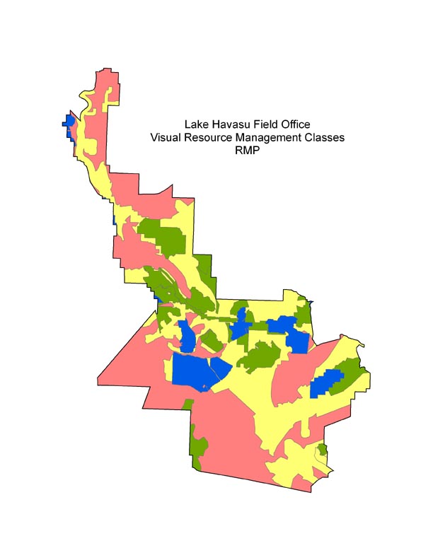
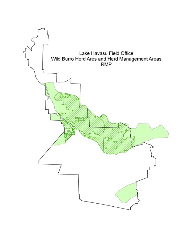
GIS Data Relating to the Lake Havasu Field Office Resource Management Plan 2007