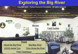
Big River - Follow the upper Mississippi from Lake Itaska in Minnesota toCairo, Illinois.
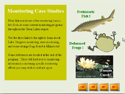
Habitat Management and Monitoring - Explore habitats of the Upper Midwest and Great Lakes. Learn how volunteers help professional researchers understand critical habitats.
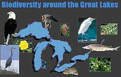
Biodiversity Around the Great Lakes - Take a biodiversity tour of the Great Lakes region.
We offer a large collection of free interactive software on environmental topics.
How to get the software
- Download programs from our site
- View programs online (from Purdue University's web site)
- Order programs on CD-ROM from Purdue University
Browse our list of programs
See our 2004 Software Catalog (PDF) (12pp, 1.9MB About PDF)
Waterspace: Web-based tools for watershed management
The Partnership has assembled a set of Web-based on line GIS-based and modeling tools to enable local managers and others concerned about the potential impacts of land use decisions upon watersheds and water bodies to run alternative site-specific scenarios for their precise locations. These software tools are produced by various members of the Midwest Spatial Decision Support System Partnership, including Purdue University, Michigan State University, and EPA.