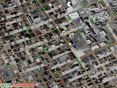
Example EPA Maps
The term "geospatial" refers to anything that has a geographic location on the earth. EPA’s National Geospatial Program coordinates the Agency’s geospatial data, applications, policies and programs. This Web site provides an overview of EPA's National Geospatial Program including:
- Applications – These applications will allow you to look at maps that contain information about air quality, water quality, hazardous waste and the environment in your neighborhood. Some of these applications are for technical users.
- Data – Most of these publicly available data are for technical users and can only be viewed using desktop mapping software such as ArcGIS. These data show locations of environmental interest such as the air quality in the Northeast United States or Superfund sites across the Nation.
- Grants and agreements – Many EPA Grants have geospatial components. This page gives you access to general grant resources as well as information about agreements that EPA has with other Federal Agencies.
- Policies and standards – These allow EPA to more easily share information within the Agency as well as with other federal, state and local agencies.
- Related Links – These are links that provide additional information and resources on geospatial topics.
EPA Regional Geographic Information Systems (GIS) Web Sites:
- EPA Region 2 - New Jersey, New York, Puerto Rico, US Virgin Islands
- EPA Region 4 - Alabama, Florida, Georgia, Kentucky, Mississippi, North Carolina, South Carolina, Tennessee
- EPA Region 6 - Arkansas, Louisiana, New Mexico, Oklahoma, Texas
- EPA Region 7 - Iowa, Kansas, Missouri, Nebraska
- EPA Region 8 - Colorado, Montana, North Dakota, South Dakota, Utah, Wyoming
- More information about where you live