Montana/Dakotas
Bear Trap Canyon Wilderness Area
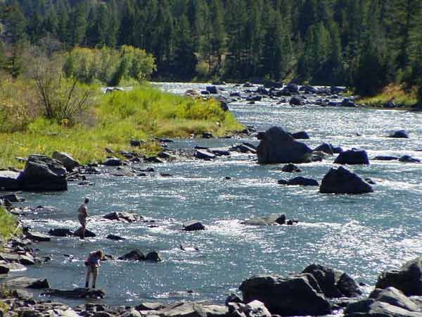
Activities: Hiking, sightseeing, fishing, rafting. Facilities: Parking area, toilet and trailhead located at the north end of the canyon. Parking area, toilet, picnic area, and interpretation site available at Fall Creek located at the south end of the canyon. Boat launch, toilet and unloading area near the powerhouse located at the south end of the canyon. Location/Access: Floater access is at the south end of the canyon, turn east off US Hwy 287 at McAllister, follow the Ennis Lake road to the Wilderness Boat Launch.(DO NOT BLOCK THE ROAD NEAR THE POWERHOUSE to avoid interfering with powerhouse operations.) Floaters should use the developed take-out at Warm Springs located on Montana Hwy 84 approximately 20 northeast of Ennis. Hiker access is at the north end of the canyon, turn south off Montana Hwy 84 across from the Red Mountain Campground and follow the Bear Trap Road upriver to the trailhead. Fees: Permits are not currently required for non-commercial recreational use, but registration is requested at the boat launch and trailhead access points. Season/Hours: Open year-round. River level and temperature information is available at http://waterdata.usgs.gov/mt/nwis/current?type=flow. Refer to the "Madison River below Ennis Lake." Maps: East half of the Interagency Visitor Travel Map. Contact: |