You are here: Home » Earthquake Center » M4.6 – Kepulauan Talaud, Indonesia

M4.6 – Kepulauan Talaud, Indonesia

Thursday, May 7, 2009 at 00:12:13 UTC
Thursday, May 7, 2009 at 08:12:13 Local
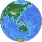
Globe at 5 125. Click to view event page.

3.52°N 126.57°E
Depth: 42km

  1. Maps
  2. Graphs
  3. Responses
  4. Downloads
City map
Responses vs. Time
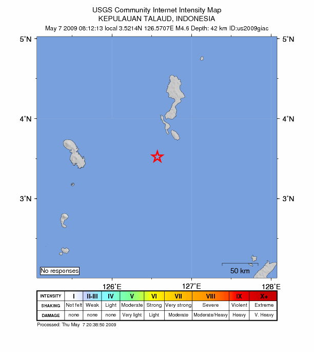
Printer Friendly Response Summary
Summary of Responses by Zip
LocationMMIResp.DistanceLatitudeLongitude
  • City mapJPG | PDF | PSMap of responses by city or ZIP code
  • Responses vs. TimeJPG | PSPlot of total number of responses since the event
  • Product ListXMLList of available DYFI maps and data for this event
  • Intensity SummaryTXT | XMLTable of intensities aggregated by city or ZIP code