Fire Weather
Click on map for forecast - Eastern Utah and Western Colorado

Full Fire Weather Zone Forecasts and Discussion or use the Dispatcher's Forecast Click here for the latest fire weather forecasts for the Denver , Pueblo , or Salt Lake City areas of responsibility
Try the Experimental Fire Weather Point Forecast Matrix Page
Also visit the Experimental Lightning Potential Index Page
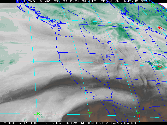
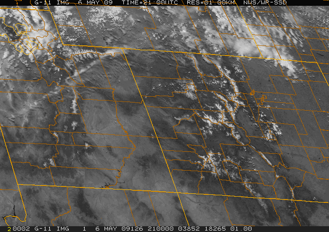
NWS Grand Junction Radar and Satellite Information
 |
 |
| [ Latest Radar Loop ] [ Surrounding Radars ] | [ IR ] [ WV ] [ VIS ] [ 1KM VIS ] |
| [ Radar Estimated Precipitation ] | Loops: [ IR ] [ WV ] [ VIS ] |
Click on Images/Links for latest Radar and IR Satellite
Try the Experimental Fire Weather Point Forecast Matrix Page
Also visit the Experimental Lightning Potential Index Page
 |
|
||
| Local Fire Weather Watches/Red Flag Warnings | All U.S. Fire Weather Watches & Warnings | ||
 |
|||
| Spot Weather Requests & Forecasts (Official Use Only) | |||
| FARSITE - Forecast on Demand | Colorado | Utah | |
Fire Weather Links
- Fire Weather Briefing Page
- Fire Weather Point Forecast Matrix(PFM) Tabular Product
- Experimental Tabular Product for Colorado produced by NWS Boulder
- Local RAWS Observations
- Local RAWS Observations (map)
- EGBCC Annual Operation Plan
- RMACC Annual Operating Plan
- Geospacial Multi-Agency Coordination
- Dispatcher's Fire Weather Forecasts
- Graphical Ventilation Index Forecast
- Utah Graphical Clearing Index Forecasts
- Latest Colorado Burning Restrictions
Historical RAWS Data
Situation Reports
- National Situation Report
- Latest Wildfire News
- Rocky Mtn Area Coord. Center
- E. Great Basin Coord. Center
Local Fire Weather Observations and Forecasts
- Red Flag Warning / Fire Weather Watch
- Red Flag Warning and Fire Weather Watch Criteria
- Fire Weather Zone Forecasts
- Fire Danger Report
- Smoke Management Forecast
- Grand Junction Daily Fire Weather Observations
- Types of Warnings & Forecasts and Commonly Used Terminology
Model Data
- UCAR Real Time Weather Data
- CDC Map Room
- COLA/IGA Maps
- Techniques Development Lab
- Hydro Prediction Center
- OSU Model Data
Upper Air Data
Surface Data
- NCEP Surface Maps
- U.S. Haines Index
- IWIN Surface Maps
- NWS IWIN Main Page
- Mesowest Data
- Wildland Fire Assessment System
- UCAR Real Time Weather Data
- Storm Prediction Center
Extended Outlooks
- 6 - 10 Day Forecast
- 30 Day Outlook
- Drought Watch
- 90 Day Outlook
- Weather & Climate Links
- Climate Prediction Center
Fire Suppression Web Sites
Miscellaneous