

Effective January 7, 2009, a new GASP algorithm update was put into operations.
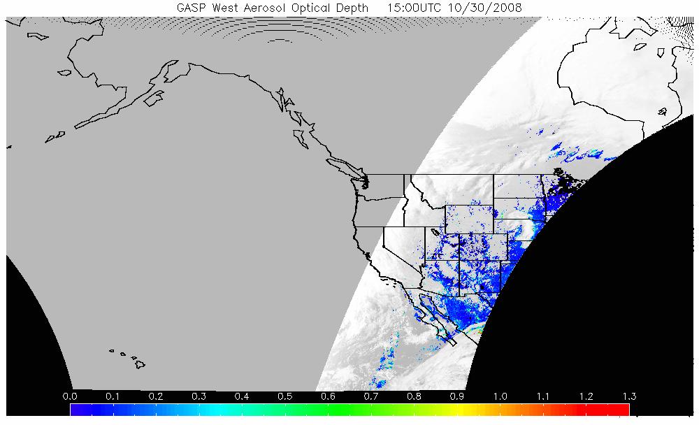
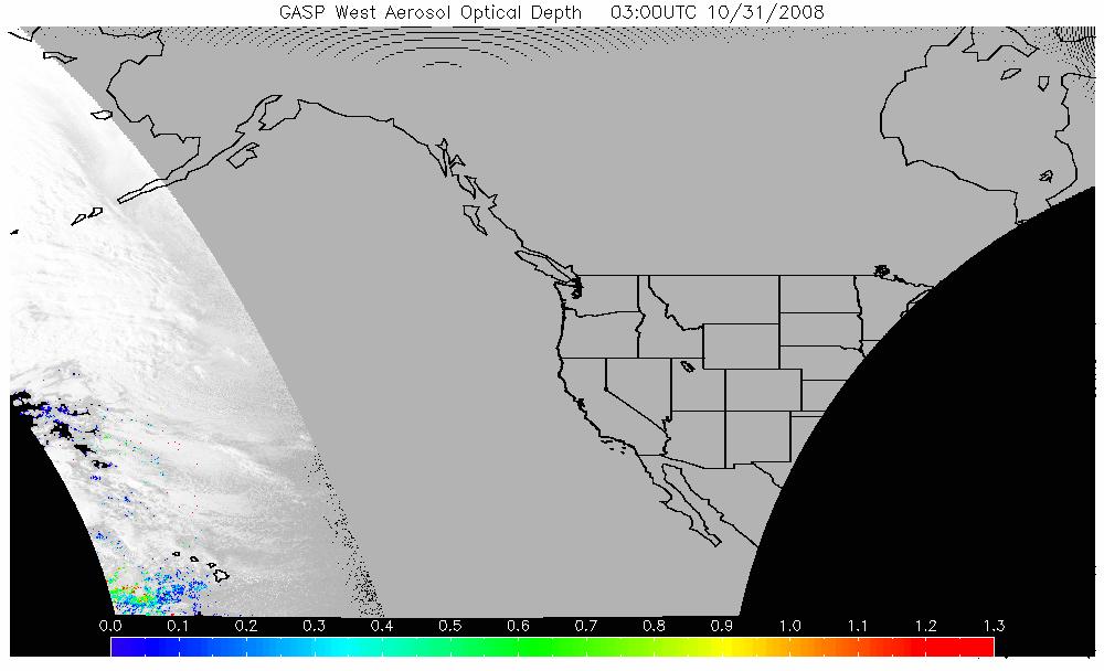
The GASP product is a retrieval of the Aerosol Optical Depth (AOD) made from the current GOES West visible imagery. Satellite measured aerosol optical depth (AOD) has been shown to be a good proxy for pollution monitoring especially when long-range transport is involved. This product is available at a 30-minute interval and 4 km X 4 km spatial resolution during the sunlit portion of the day. The EPA and NWS use the product for monitoring and forecasting applications.
(4km resolution)
See below for image descriptions.
| Time (UTC) | GOES AOD | Time (UTC) | GOES AOD |
| Latest | JPG |
12:45 | JPG |
| 13:15 | JPG |
13:45 | JPG |
| 14:15 | JPG |
14:45 | JPG |
| 15:00 | JPG |
15:30 | JPG |
| 16:15 | JPG |
16:45 | JPG |
| 17:15 | JPG |
17:45 | JPG |
| 18:30 | JPG |
18:45 | JPG |
| 19:15 | JPG |
19:45 | JPG |
| 20:15 | JPG |
20:45 | JPG |
| 21:00 | JPG |
21:30 | JPG |
| 22:15 | JPG |
22:45 | JPG |
| 23:15 | JPG |
23:45 | JPG |
| 00:30 | JPG |
00:45 | JPG |
| 01:15 | JPG |
01:45 | JPG |
| 02:15 | JPG |
02:45 | JPG |
| 03:00 | JPG |
03:30 | JPG |
Contact Information: |
||
|
You are Here: http://www.ssd.noaa.gov/PS/FIRE/gasp-west.html
|