
| May 3, 2009 12-24Z | _Water Vapor_ |
| May 3, 2009 00-12Z | _Water Vapor_ |
| Current images | 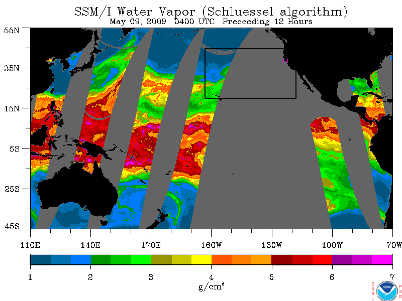
| 
| 
|
| May 6, 2009 1200 UTC | Water Vapor | Cloud Liquid Water | Rain Rate |
| May 6, 2009 1000 UTC | Water Vapor | Cloud Liquid Water | Rain Rate |
| May 6, 2009 0800 UTC | Water Vapor | Cloud Liquid Water | Rain Rate |
| May 6, 2009 0600 UTC | Water Vapor | Cloud Liquid Water | Rain Rate |
| May 6, 2009 0400 UTC | Water Vapor | Cloud Liquid Water | Rain Rate |
| May 6, 2009 0200 UTC | Water Vapor | Cloud Liquid Water | Rain Rate |
 View water vapor animation
| May 5, 2009 Descending Passes | _Water Vapor_ | _Cloud Liquid Water_ | _Rain Rate_ |
| May 5, 2009 Ascending Passes | _Water Vapor_ | _Cloud Liquid Water_ | _Rain Rate_ |
| May 3, 2009 Descending Passes | _Water Vapor_ | _Cloud Liquid Water_ | _Rain Rate_ |
| May 3, 2009 Ascending Passes | _Water Vapor_ | _Cloud Liquid Water_ | _Rain Rate_ |
| Current images | 
| 
| 
|
| May 6, 2009 1200 UTC | Water Vapor | Cloud Liquid Water | Rain Rate |
| May 6, 2009 1000 UTC | Water Vapor | Cloud Liquid Water | Rain Rate |
| May 6, 2009 0800 UTC | Water Vapor | Cloud Liquid Water | Rain Rate |
| May 6, 2009 0600 UTC | Water Vapor | Cloud Liquid Water | Rain Rate |
| May 6, 2009 0400 UTC | Water Vapor | Cloud Liquid Water | Rain Rate |
| May 6, 2009 0200 UTC | Water Vapor | Cloud Liquid Water | Rain Rate |
| F-13 | F-14 | F-15 |

| 
| 
|
| May 6, 2009 0424 UTC | ||
| May 6, 2009 0028 UTC | ||
| May 5, 2009 1747 UTC |
| Date | 
| |
| May 5, 2009 | 00-12Z | 12-24Z |
| May 4, 2009 | 00-12Z | 12-24Z |
| May 3, 2009 | 00-12Z | 12-24Z |
| Date | 
| 
| 
| 
| 
| 
|
| May 5, 2009 | CZD | PPB | GLB | SAC | BLU | RNO |
| May 4, 2009 | CZD | PPB | GLB | SAC | BLU | RNO |
| May 3, 2009 | CZD | PPB | GLB | SAC | BLU | RNO |
Disclaimer! Minimal quality control measures are taken with the real-time data feeds. As a result, occasional bad data may contaminate the images. For this reason, these images are intended for qualitative analysis only.