HOME | ABOUT US | CONTACT | REGIONAL MANAGERS
 
  Nautical Charts & Pubs  
 
  Nautical Charts & Products  
     •   Traditional Paper Charts  
     •   Print-on-Demand Charts (POD)  
     •   Raster Navigational Charts: NOAA RNCs  
     •   Electronic Navigational Charts: NOAA ENCs®  
     •   PocketCharts  
     •   BookletChart™ (Experimental)  
     •   Chart Updates (LNM and NM Corr'ns)  
 
  Nautical Charting Publications  
     •   United States Coast Pilot®  
     •   U.S. Chart No. 1  
     •   Chart Catalogs  
     •   Dates of Latest Editions (DOLE)  
     •   Upcoming New Editions (SON)  
 
  Nautical Charting Utilities  
     •   NOAA's On-Line Chart Viewer  
 
  Historical Products  
     •   Historical Maps and Charts  
     •   Historical Coast Pilots  
 
  Learn About Charting Products  
     •   Obtain Charting Products  
     •   How a Chart is Updated  
     •   Differences Between Maps & Charts  
     •   Learn About Nautical Charts  
     •   DGPS & Your Chart  
     •   Differences Between NM and LNM  
     •   Differences Between RNCs and ENCs  
     •   Differences Between NOAA ENCs® and DNCs®  
     •   Differences Between ENC and ENC®Direct to GIS  
 
  Data Portals  
     •   Tides and Currents (General)  
     •   nowCOAST: Real-Time Coastal Data Map Portal  
     •   Physical Oceanographic Real-Time System (PORTS)  
     •   Nautical Charting Links  
 
  Resources  
     •   Coast Survey Partners  
     •   Chart Carriage Requirements  
     •   Report a Charting Discrepancy  
     •   Chart Inquiries (questions/comments)  
     •   Cartographic Automation  
     •   Nautical Chart Calendars  
 

Historical Maps and Charts
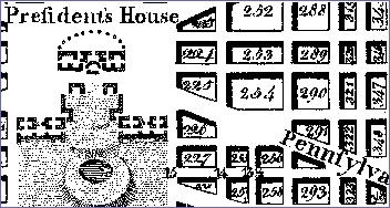
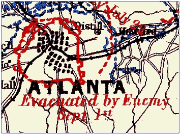
Historical map showing "President's House" with surrounding streets and buildings in Washington D.C.   The Office of Coast Survey's Historical Map & Chart Collection contains over 20,000 maps and charts from the late 1700s to present day. The Collection includes some of the nation's earliest nautical charts, hydrographic surveys, topographic surveys, geodetic surveys, city plans and Civil War battle maps.

The Office of Coast Survey's Historical Map & Chart Collection contains over 20,000 maps and charts from the late 1700s to present day. The Collection includes some of the nation's earliest nautical charts, hydrographic surveys, topographic surveys, geodetic surveys, city plans and Civil War battle maps. The Collection is a rich primary historical archive and a testament to the artistry of copper plate engraving technology of the nineteenth and twentieth centuries. The Historical Map & Chart Project scans each map or chart and offers the images free to the public via the Coast Survey web site. The Project is managed by the Cartographic & Geospatial Technology Program of the Coast Survey Development Laboratory.


Privacy Policy  |  Disclaimer  |  NOAA's National Ocean Service  |  NOAA  |  U.S. Department of Commerce