
|
Center for Operational Oceanographic Products and Services
|
News and Alerts
[2009-05-07]
[2008-11-04] [2008-11-04] Tides/Water Levels
Harmful Algal Blooms (HAB)
|
Turning operational oceanographic data into meaningful information for the Nation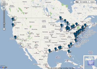 Click map to access data and products CO-OPS provides the national infrastructure, science, and technical expertise to monitor, assess, and distribute tide, current, water level, and other coastal oceanographic products and services that support NOAA's mission of environmental stewardship and environmental assessment and prediction. CO-OPS provides operationally sound observations and monitoring capabilities coupled with operational Nowcast Forecast modeling. |
PORTS
Currents
Meteorological/Other
Operational Forecast Systems
|