


|
|
|
|
|
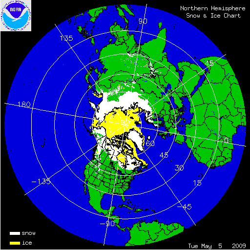
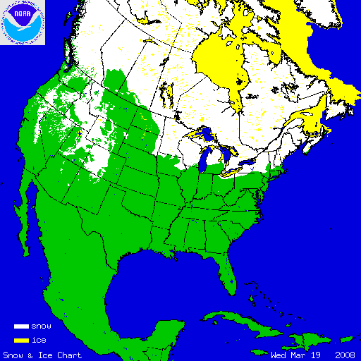
| Northern Hemisphere | United States | Alaska | Europe/Asia | Special Sector: Afghanistan |
| Latest | Latest | Latest | Latest | Latest |
| Yesterday | Yesterday | Yesterday | Yesterday | Yesterday |
| Data Archive (2009) | Data Archive (2009) | Data Archive (2009) | Data Archive (2009) | Data Archiv e (2009) |
| 31 Day Animation | 31 Day Animation | 31 Day Animation | 31 Day Animation | 31 Day Animation |
Interactive Snow MapMore Information:Past Years: |
Outside Snow and Ice Links
|
|
| Publications: | ||
| "The Interactive Multisensor Snow
and Ice Mapping System" by "Prospects for the Interactive Multisensor Snow and Ice Mapping System (IMS)" by "Enhancements to, and forthcoming developments in the Interactive Multisensor Snow and Ice Mapping System (IMS)" by Sean R. Helfrich (Adobe PDF 805KB) |
|
Previous | IMS Home Page | NIC IMS Page
|
Last Modified: March 4, 2009
|
|
|
|
You are Here: http://www.natice.noaa.gov/ims/index.htm
|
Contact Information: NIC IMS Manager
|
|