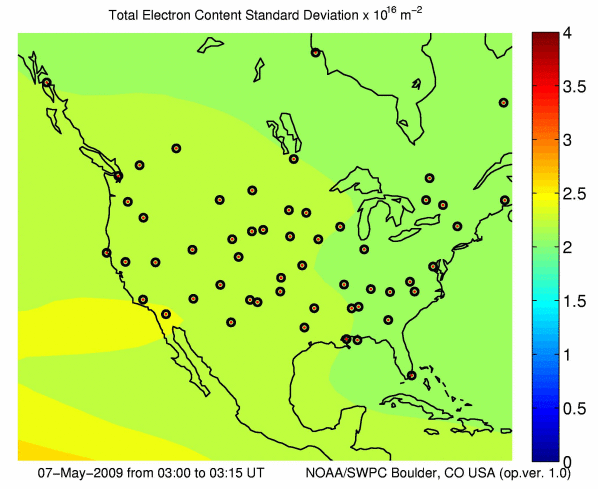
Real-time US-Total Electron Content: Vertical and Slant
TEC uncertainty and GPS stations used in assimilation
2009 May 07 0300 - 0315 UTC
|
|
Updated: 2009 May 07 0330 UTC
Data from a total of
63 real-time
GPS stations from the
CORS
, GPS/Met,
and IGS
networks are used for these calculations.
US-TEC provides vertical TEC and slant path values of the line-of-sight
electron content to the GPS satellites in view at the time. Note that TEC values in regions outside of the CONUS have no data and should
be treated with caution. This ionospheric product is designed to
estimate the signal delay for single and dual frequency GPS applications. US-TEC
products are provided for today and yesterday, prior to yesterday
please go to NGDC.