|
| |
PL 566 Structures Spare Farmers Wrath of Historic Storm
In early September, fifty PL-566 floodwater-retarding
structures prevented extensive flooding and related damages from a 500-year rain
event that struck North Central Kansas. The predominantly agricultural region
was inundated by up to 13 inches of rain in a 12 hour period that caused flash
flooding on all streams. However, much of the excessive runoff was captured
(then slowly released) by the PL-566 structures, located in Salt Creek and
Spillman Creek watershed districts (Mitchell and Lincoln counties). Those
structures provide an estimated $2 million per year in flood protection.
Protection that proved invaluable to the farmers who were preparing for harvest
(corn, soybeans and milo) and planting (winter wheat) when the massive, early
September storm hit.
Salt Creek Watershed, Mitchell County, Kansas
|
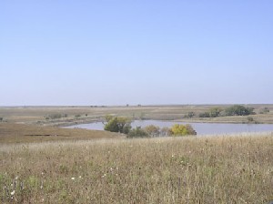
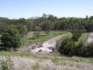
Upper Salt Creek Site 14 Reservoir |
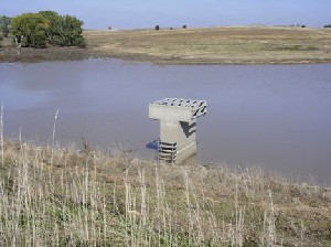
Upper Salt Creek Site 14 principal spillway inlet |
|
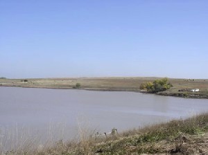
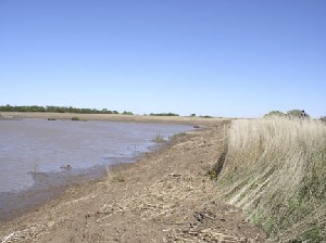
Upper Salt Creek Site 14 Reservoir showing debris line |
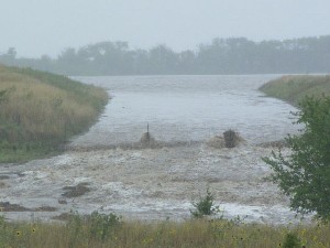
Upper Salt Creek 16 auxiliary spillway flow |
|
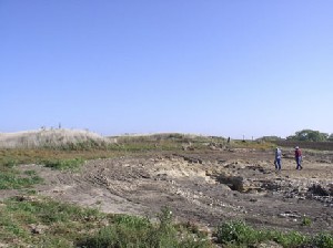
Upper Salt Creek Site 16 - Cropland erosion downstream of auxiliary
spillway exit |
Upper Salt Creek Site 16 principal spillway outlet |
|
Upper Salt Creek Site 16 debris on upstream face of dam |
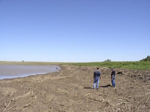
Upper Salt Creek Site 18 debris on upstream face of dam |
| |
|