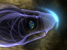
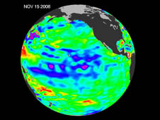
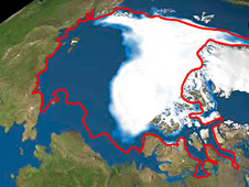
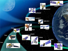
NASA's satellite imagery, combined with high-resolution commercial imagery, is giving scientists new insight into the changing appearance of our planet on a regional scale, and whether it is due to hu...
- NASA Home
- > News & Features
- > News Topics
- > Looking at Earth
Earth News
Featured Mission
In-Depth: Earth Topics
Latest Features
NASA Tracks Changes to Earth's Green-covered Regions
Satellites Confirm Half-Century of West Antarctic Warmi...
Once presumed to be cooling or stable, NASA scientists have recently confirmed a warming trend on the Antarctic Peninsula.
Understanding the Sources of Rising Carbon Dioxide
Every time we get into our car, turn the key and drive somewhere, we burn gasoline, a fossil fuel derived from crude oil.
More Features
-

S'COOL Kids Still Have Their Heads In The Clouds For NASA Science
For 12 years, elementary school students have helped NASA scientists verify satellite measurements of the atmosphere.
-
NASA Balloon Successfully Flight-Tested Over Antarctica
NASA and the National Science Foundation have successfully launched and demonstrated a newly designed super pressure balloon in Antarctica.
-

NASA Study Links Severe Storm Increases, Global Warming
The frequency of extremely high clouds in Earth's tropics is increasing as a result of global warming.
-

Modeling Radiation Exposure for Pilots, Crew and Passengers on Commercial Flights
Did you know that flight crews on high-latitude routes are exposed to more radiation on an annual basis than nuclear plant workers?
-

New Satellite Data Reveal Impact of Olympic Pollution Controls
China had clearer skies and easier breathing in mind in the summer of 2008 when they temporarily shuttered some factories and banished many cars in a pre-Olympic sprint to clean up Beijing's air.
Latest News Releases
-
NASA to Hold Media Briefing about New Global Carbon Dioxide Mission
01.22.09 - NASA will hold a media briefing on Thursday, Jan. 29, at 11 a.m. EST to discuss the upcoming Orbiting Carbon Observatory mission, the first NASA spacecraft dedicated to studying carbon dioxide.
-
Report Calls Aerosol Research Key to Improving Climate Predictions
01.16.09 - Scientists need a more detailed understanding of how human-produced atmospheric particles, called aerosols, affect climate in order to produce better predictions of Earth's future climate, according to a NASA-led report issued by the U.S. Climate Change Science Program on Friday.


