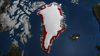
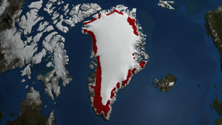
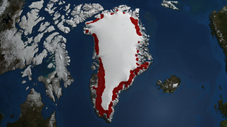
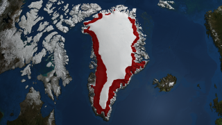
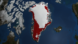
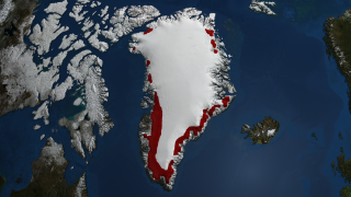
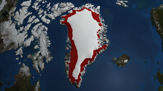
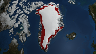
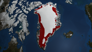
Annual Accumulated Melt over Greenland 1979 through 2007
The ice sheet melt extent is a daily (or every-other-day, prior to August, 1987) estimate of the spatial extent of wet snow on the Greenland ice sheet derived from passive microwave satellite brightness temperature characteristics. This indicator of melt on each area of the ice sheet for each day of observation is physically based on the changes in microwave emission characteristics observable in data. Although it is not a direct measure of the snow wetness, it is representative of the amount of ice loss due to seasonal melting that occurs on the Greenland ice sheet.
This animation shows the regions of the Greenland ice sheet over which melt occurred more than three days between May 1st and September 30th for each year.
Please give credit for this item to NASA/Goddard Space Flight Center Scientific Visualization Studio The Next Generation Blue Marble data is courtesy of Reto Stockli (NASA/GSFC).


