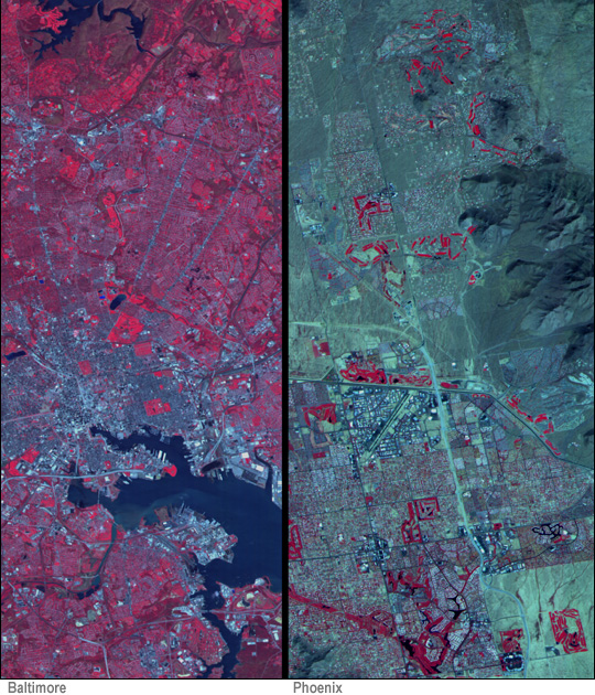
The "zoom lens" aboard NASA's Terra spacecraft acquired these views of two U.S. metropolitan areas: Baltimore, Maryland (left), and Phoenix, Arizona (right). Acquired by the Advanced Spaceborne Thermal Emission and Reflection Radiometer (ASTER), red in these false-colored images indicates vegetation. The turquoise pixels show paved areas while darker greens and browns show bare earth and rock surfaces.
The "true" constructed nature of these cities is not easy to see. Ecologists now accept human beings and our activities as a significant factor in studying the Earth's ecology. ASTER data are being used to better understand urban ecology, in particular how humans build their cities and affect the surrounding environment. At the recent American Geophysical Union (AGU) meeting in Boston, Will Stefanov of Arizona State University presented the first set of ASTER images of the urban "skeletons" of the amount of built structures in twelve cities around the world. He also discussed the Urban Environmental Monitoring project, in which scientists are examining 100 urban centers to look for common features (or lack of them) in global city structure as well as to monitor their changes over time.
Image courtesy NASA/GSFC/MITI/ERSDAC/JAROS, and U.S./Japan ASTER Science Team and Arizona State University
