+ Visit NASA.gov
+ Advanced Search
+ About the Server
+ Animation List
+ How to Use the Server
+ RSS Feeds
+ Podcasts
Most Recently Released Print Images Produced by the SVS as of 2009-01-19
[View the 100 Most Recently Released Animations Produced by the SVS]
Completed:
2008-12-11
ID Number:
3571
globalRotationWice2_FINAL4_V13_Still3.1618.tif
globalRotationWice2_FINAL4_V13_Still3.1618_web.png
Completed:
2008-12-11
ID Number:
3571
globalRotationWice2_FINAL4_V14_still1.0544.tif
globalRotationWice2_FINAL4_V13_Still2.0544_web.png
Completed:
2008-12-11
ID Number:
3571
globalRotationWice2_FINAL4_V14_still3Final.1819.tif
globalRotationWice2_FINAL4_V14_still3Final.1819_web.png
Completed:
2008-12-11
ID Number:
3571
globalRotationWice2_FINAL4_V13_Still.1989.tif
globalRotationWice2_FINAL4_V13_Still.1989_web.png
Completed:
2008-12-11
ID Number:
3571
globalRotationWice2_FINAL4_V14_still2.0918.tif
globalRotationWice2_FINAL4_V13_Still4.0918_web.png
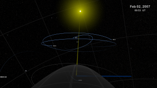
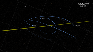
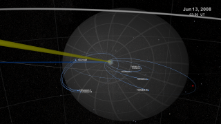
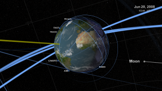
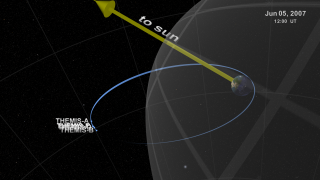
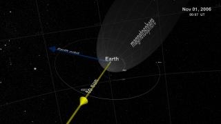
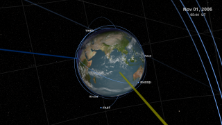
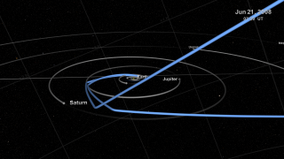
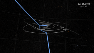
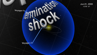
Completed:
2008-12-10
ID Number:
3570
helioFleet_still.00000.tif
helioFleet_still.00000_web.png
Completed:
2008-12-10
ID Number:
3570
helioFleet_still.00780.tif
helioFleet_still.00780_web.png
Completed:
2008-12-10
ID Number:
3570
helioFleet_still.01440.tif
helioFleet_still.01440_web.png
Completed:
2008-12-10
ID Number:
3570
helioFleet_still.02334.tif
helioFleet_still.02334_web.png
Completed:
2008-12-10
ID Number:
3570
helioFleet_still.02800.tif
helioFleet_still.02800_web.png
Completed:
2008-12-10
ID Number:
3570
helioFleet_still.04600.tif
helioFleet_still.04600_web.png
Completed:
2008-12-10
ID Number:
3570
helioFleet_still.05412.tif
helioFleet_still.05412_web.png
Completed:
2008-12-10
ID Number:
3570
helioFleet_still.07056.tif
helioFleet_still.07056_web.png
Completed:
2008-12-10
ID Number:
3570
helioFleet_still.08364.tif
helioFleet_still.08364_web.png
Completed:
2008-12-10
ID Number:
3570
helioFleet_still.09970.tif
helioFleet_still.09970_web.png
Completed:
2008-12-10
ID Number:
3570
helioFleet_still.10440.tif
helioFleet_still.10440_web.png
Completed:
2008-12-10
ID Number:
3570
helioFleet_still.11200.tif
helioFleet_still.11200_web.png
Completed:
2008-12-10
ID Number:
3570
helioFleet_still.14120.tif
helioFleet_still.14120_web.png
Completed:
2008-12-10
ID Number:
3570
helioFleet_still.15200.tif
helioFleet_still.15200_web.png
Completed:
2008-12-10
ID Number:
3570
helioFleet_still.16600.tif
helioFleet_still.16600_web.png
Completed:
2008-12-10
ID Number:
3570
helioFleet_still.18600.tif
helioFleet_still.18600_web.png
Completed:
2008-12-10
ID Number:
3570
helioFleet_still.19800.tif
helioFleet_still.19800_web.png
Completed:
2008-12-10
ID Number:
3570
helioFleet_still.20048.tif
helioFleet_still.20048_web.png
Completed:
2008-12-10
ID Number:
3570
helioFleet_still.20480.tif
helioFleet_still.20480_web.png
Completed:
2008-12-10
ID Number:
3570
helioFleet_still.21034.tif
helioFleet_still.21034_web.png
Completed:
2008-12-10
ID Number:
3570
helioFleet_still.23002.tif
helioFleet_still.23002_web.png
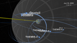
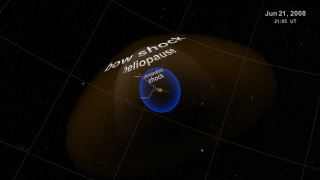
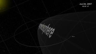
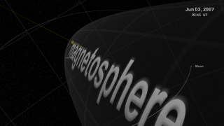
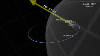
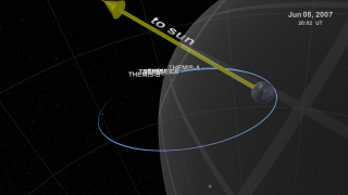
Completed:
2008-12-09
ID Number:
3569
THEMISb_2560x1440.0000.tif
THEMISb_2560x1440.0000_web.png
Completed:
2008-12-09
ID Number:
3569
THEMISb_2560x1440.0268.tif
THEMISb_2560x1440.0268_web.png
Completed:
2008-12-09
ID Number:
3569
THEMISb_2560x1440.0448.tif
THEMISb_2560x1440.0448_web.png
Completed:
2008-12-09
ID Number:
3569
THEMISb_2560x1440.0775.tif
THEMISb_2560x1440.0775_web.png
Completed:
2008-12-09
ID Number:
3569
THEMISb_2560x1440.0900.tif
THEMISb_2560x1440.0900_web.png
Completed:
2008-12-09
ID Number:
3569
THEMISb_2560x1440.1264.tif
THEMISb_2560x1440.1264_web.png
Completed:
2008-12-09
ID Number:
3569
THEMISb_2560x1440.1567.tif
THEMISb_2560x1440.1567_web.png
Completed:
2008-12-09
ID Number:
3569
THEMISb_2560x1440.1800.tif
THEMISb_2560x1440.1800_web.png
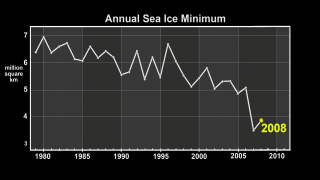
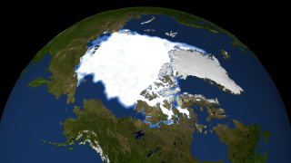
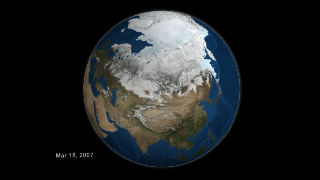
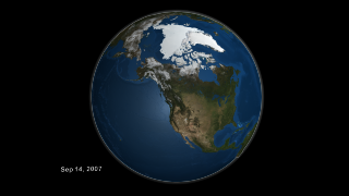
Completed:
2008-10-27
ID Number:
3563
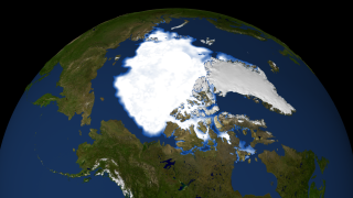
print2008SeaIceEarthGraphSequence.1933.tif
print2008SeaIceEarthGraphSequence.1933_web.png
print2008SeaIceEarthGraphSequence.1933_gal.png
print2008SeaIceEarthGraphSequence.1933_thm.png
2008SeaIceSequencesparta1280x720_30.mp4
2008SeaIceSequence512x288_30.mpg
frames/1280x720_16x9_30p/
frames/1280x720_16x9_60p/
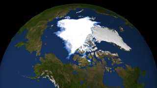
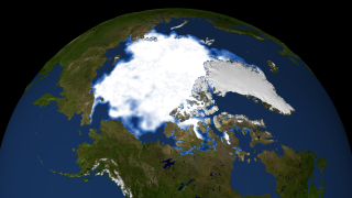
Completed:
2008-10-27
ID Number:
3563
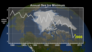
print2008SeaIceGraph.1933.tif
print2008SeaIceGraph.1933_web.png
2008SeaIceGraphSequencesparta1280x720_30.mp4
2008SeaIceGraphSequence512x288_30.mpg
frames/1280x720_16x9_30p_graphOverlay/
frames/1280x720_16x9_60p_graphOverlay/
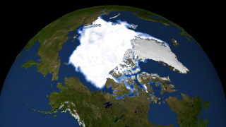
Completed:
2008-10-27
ID Number:
3563
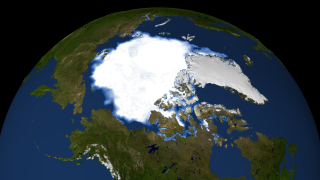
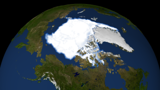
print2008SeaIceEarthDatesSequence.1933.tif
print2008SeaIceEarthDatesSequence.1933_web.png
frames/1280x720_16x9_60p_dateSeaIceMinimum/
frames/1280x720_16x9_30p_dateSeaIceMinimum/
2008SeaIceEarthDatesSequence512x288_30.mpg
2008SeaIceEarthDatesSequencesparta1280x720_30.mp4
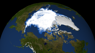
Completed:
2008-10-27
ID Number:
3563
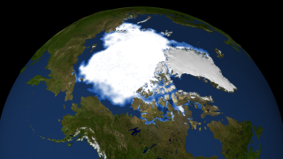
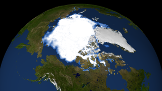
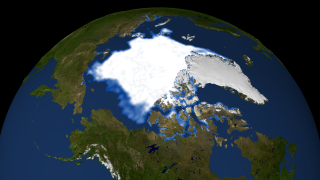
print2008SeaIceMinimum.1933.tif
print2008SeaIceMinimum.1933_web.png
2008SeaIceBackgroundSequence512x288_30.mpg
2008SeaIceBackgroundSequencesparta1280x720_30.mp4
frames/1280x720_16x9_30p_minimumSeaIce/
frames/1280x720_16x9_60p_minimumSeaIce/
Completed:
2008-10-27
ID Number:
3563
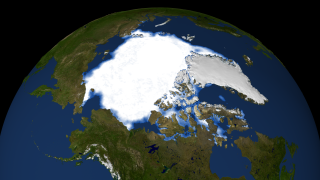
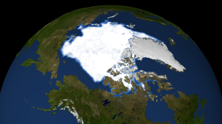
print2008SeaIceDatesSequence.1933.tif
print2008SeaIceDatesSequence.1933_web.png
frames/1280x720_16x9_60p_dates/
Completed:
2008-10-27
ID Number:
3563
still_seaIce1979_0921.noGraph.tif
still_seaIce1979_0921.noGraph_web.png
Completed:
2008-10-27
ID Number:
3563
still_seaIce1980_0905.noGraph.tif
still_seaIce1980_0905.noGraph_web.png
Completed:
2008-10-27
ID Number:
3563
still_seaIce1981_0910.noGraph.tif
still_seaIce1981_0910.noGraph_web.png
Completed:
2008-10-27
ID Number:
3563
still_seaIce1982_0917.noGraph.tif
still_seaIce1982_0917.noGraph_web.png
Completed:
2008-10-27
ID Number:
3563
still_seaIce1983_0918.noGraph.tif
still_seaIce1983_0918.noGraph_web.png
Completed:
2008-10-27
ID Number:
3563
still_seaIce1984_0916.noGraph.tif
still_seaIce1984_0916.noGraph_web.png
Completed:
2008-10-27
ID Number:
3563
still_seaIce1985_0907.noGraph.tif
still_seaIce1985_0907.noGraph_web.png
Completed:
2008-10-27
ID Number:
3563
still_seaIce1986_0906.noGraph.tif
still_seaIce1986_0906.noGraph_web.png
Completed:
2008-10-27
ID Number:
3563
still_seaIce1987_0902.noGraph.tif
still_seaIce1987_0902.noGraph_web.png
Completed:
2008-10-27
ID Number:
3563
still_seaIce1988_0912.noGraph.tif
still_seaIce1988_0912.noGraph_web.png
Completed:
2008-10-27
ID Number:
3563
still_seaIce1989_0923.noGraph.tif
still_seaIce1989_0923.noGraph_web.png
Completed:
2008-10-27
ID Number:
3563
still_seaIce1990_0919.noGraph.tif
still_seaIce1990_0919.noGraph_web.png
Completed:
2008-10-27
ID Number:
3563
still_seaIce1991_0916.noGraph.tif
still_seaIce1991_0916.noGraph_web.png
Completed:
2008-10-27
ID Number:
3563
still_seaIce1992_0904.noGraph.tif
still_seaIce1992_0904.noGraph_web.png
Completed:
2008-10-27
ID Number:
3563
still_seaIce1993_0911.noGraph.tif
still_seaIce1993_0911.noGraph_web.png
Completed:
2008-10-27
ID Number:
3563
still_seaIce1994_0905.noGraph.tif
still_seaIce1994_0905.noGraph_web.png
Completed:
2008-10-27
ID Number:
3563
still_seaIce1995_1001.noGraph.tif
still_seaIce1995_1001.noGraph_web.png
Completed:
2008-10-27
ID Number:
3563
still_seaIce1996_0910.noGraph.tif
still_seaIce1996_0910.noGraph_web.png
Completed:
2008-10-27
ID Number:
3563
still_seaIce1997_0919.noGraph.tif
still_seaIce1997_0919.noGraph_web.png
Completed:
2008-10-27
ID Number:
3563
still_seaIce1998_0912.noGraph.tif
still_seaIce1998_0912.noGraph_web.png
Completed:
2008-10-27
ID Number:
3563
still_seaIce1999_0911.noGraph.tif
still_seaIce1999_0911.noGraph_web.png
+ Privacy Policy and Important Notices
+ Reproduction Guidelines
NASA Official:
SVS Contact:
Curator:


