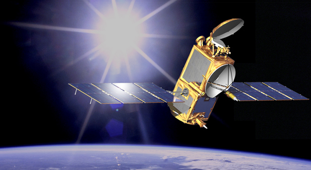
 Artist concept of OSTM/Jason-2 in space. Image credit: NASA/JPL-Caltech
December 16, 2008
PASADENA, Calif. – Oceanography data that will help scientists
around the world better understand climate change are now available.
The data come from the Ocean Surface Topography Mission, also known
as OSTM/Jason-2, a spacecraft developed jointly by NASA and the
French space agency.
Launched June 20, 2008, the mission's first validated data products
in support of improved weather, climate and ocean forecasts are now
being distributed to the public within a few hours of observation.
Beginning in 2009, other data products for climate research will be
available a few days to a few weeks after observations are taken
by the satellite.
The satellite is monitoring 95 percent of the world's ice-free oceans
every 10 days from its low Earth orbit. Like its predecessor satellites,
Topex/Poseidon and Jason-1, OSTM/Jason-2 is extending the climate data
record by providing a long-term survey of Earth's ocean. It tracks ocean
circulation patterns and measures sea-surface height and the rate of
sea-level rise, which are critical factors in understanding climate change.
The mission is a joint effort among NASA, the National Oceanic and Atmospheric
Administration, or NOAA, France's Centre National d'Etudes Spatiales, or
CNES, and the European Organisation for the Exploitation of Meteorological
Satellites, or EUMETSAT. An international science team of more than 200
investigators will use data obtained from the satellite's instruments to
study the world's ocean and its effect on our society.
"The joint development by NASA and CNES during the past 20 years of an
effective technique for measuring sea level from space is a tremendous
success story for both agencies and the international science community,"
said Lee-Lueng Fu, OSTM/Jason-2 project scientist at NASA's Jet Propulsion
Laboratory in Pasadena, Calif. "With the successful transition of this
important measurement to our partners, NOAA and EUMETSAT, a new era has
dawned in humankind's long-term monitoring of this vital barometer of our
changing climate."
"Sea level is rising at a rate of 0.13 inches per year, nearly twice as
fast as the previous 100 years," said Laury Miller, chief of NOAA's
Laboratory for Satellite Altimetry in Silver Spring, Md. "If this rate
continues unchanged during the coming decades, it will have a huge impact on
erosion and flooding in coastal regions. We need the OSTM/Jason-2 data to help
us monitor what is happening."
Throughout the mission, CNES will continue to monitor and evaluate the spacecraft
and instruments it provided. The French space agency also will process, distribute
and archive the research-quality data products that will become available next year.
EUMETSAT will process and distribute operational data received by its ground station
to users in Europe and will archive the data. NOAA will process and distribute
operational data received by its ground stations to non-European users and archive
that data along with the CNES data products.
NOAA will operate the satellite. NASA will evaluate the performance of its instruments:
the advanced microwave radiometer, the Global Positioning System payload, and the
laser retroreflector assembly. In addition, NASA and CNES will validate scientific
data products.
CNES provided the OSTM/Jason 2 spacecraft, and NASA and CNES jointly provided the
primary payload instruments. The Jet Propulsion Laboratory manages the mission for
NASA's Science Mission Directorate in Washington.
To learn more about the ocean monitoring mission, visit:
http://www.nasa.gov/ostm .
Media contacts: Alan Buis 818-354-0474
Jet Propulsion Laboratory, Pasadena, Calif.
alan.buis@jpl.nasa.gov
Steve Cole 202-358-0918
NASA Headquarters, Washington
stephen.e.cole@nasa.gov
2008-238