

A Caltech researcher hopes to put fuel cells on the fast track.
Read more | Global Climate Change site
EARTH IMAGES from the JPL Photojournal
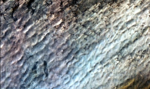
To better understand how dry landscapes respond to wind-driven changes, scientists can monitor how fast sand dunes migrate. Researchers used pairs of high-resolution optical satellite images to monitor the migration of sand dunes in the Bodele depression in time intervals ranging from one month to 6.5 years.
Active Cavity Irradiance Monitor Satellite
Monitors total sun energy that reaches Earth.
› Instrument home page
Atmospheric Infrared Sounder on Aqua satellite
Measures air and surface temperature, clouds, humidity.
› Instrument home page
Microwave Limb Sounder on Aura satellite
Improves understanding of ozone and precursors.
› Mission home page
Tropospheric Emission Spectrometer on Aura satellite
Observes ozone and gases in the troposphere, the part of atmosphere where we live.
› Instrument home page
CloudSat
Revealing the inner secrets of clouds.
› Mission home page
Gravity Recovery and Climate Experiment
Measures Earth's gravitational field.
› Mission home page
Ocean Surface Topography Mission/Jason 2
A follow-on to Jason 1, this mission charts sea level, and its data will help improve climate and weather forecasts.
› Mission home page
Jason-1
Measures ocean level changes and El Niño.
› Mission home page
Quick Scatterometer
Measures ocean surface winds.
› Mission home page
Advanced Spaceborne Thermal Emission and Reflection Radiometer on Terra satellite
Takes high-resolution images, global and local.
› Instrument home page
Multi-angle Imaging Spectro-Radiometer on Terra satellite
Images Earth and aerosols from nine angles.
› Instrument home page
Shuttle Radar Topography Mission
Acquired the most complete near global mapping of Earth's topography.
› Mission home page

|
The Human Factor: Understanding the Sources of Rising Carbon Dioxide
Every time we get into our car, turn the key and drive somewhere, we burn gasoline, a fossil fuel derived from crude oil.
|

|
Researcher hopes to put fuel cells on the fast track
The slow evolution of clean-energy solutions is about to kick into high gear, if Sossina M. Haile has anything to say about it.
|

|
NASA Study Links Severe Storm Increases, Global Warming
The frequency of extremely high clouds in Earth's tropics -- the type associated with severe storms and rainfall -- is increasing as a result of global warming, according to a study by scientists at NASA's Jet Propulsion Laboratory, Pasadena, Calif.
|

|
Astronaut Congratulates Mars Rovers From Space
Astronaut E. Michael Finke, commander of the Expedition 18 crew currently aboard the International Space Station, has sent a congratulatory video message to NASA's Mars Exploration Rover team in honor |

|
Shooting for the Moon
Engineers test an instrument that may be used in future moon landing missions. |

|
Flying Down to Hadley Rille
Archival footage shows the Apollo 15 astronauts’ viewpoint during their moon landing in 1971. |