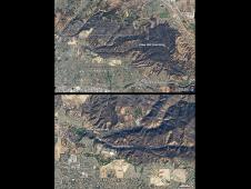
One hundred eighty-seven homes were destroyed by the Freeway Fire in Southern California in mid-November 2008. Driven by Santa Ana winds, the fire exploded out of the Chino Hills into communities at t...
MODIS Rapid Response
Top U.S. Image
Top World Image
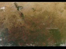
Fires in Central Africa
Late in the calendar year, widespread agricultural fires spring up across Africa in the semi-arid grasslands known as the Sahel and in the tropical savannas to the south. This natural-color image from...
News and Features
-
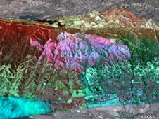
NASA Technology Helps Fight California Wildfires
07.16.08 - A remotely piloted aircraft carrying a NASA sensor is helping to fight more than 300 California wildfires.
-

NASA Ikhana Imagery of Fire and Smoke
View images of data collected by NASA's unmanned Ikhana aircraft, superimposed over Google Earth terrain data.
-

Forest Fire Smoke Plumes Probed
07.03.08 - An international team of fire trackers, weather forecasters and various atmospheric scientists puzzle over computer models, satellite tracks and flight charts to determine how fires age.
-

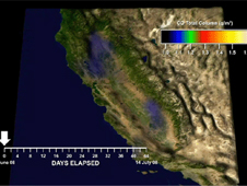
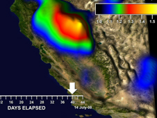
CARB Sniffs the Air Over California as Wild Fires Rage
06.30.08 - In an effort to better understand the chemical nature of smog and greenhouse gases, scientists from the California Air Resources Board, CARB are collaborating with NASA scientists who are flying specially configured aircraft -- the DC-8 and the P-3 -- up and down the California coast this month and over the Central valley at varying altitudes.
> View Image in High Resolution


