GIS Data

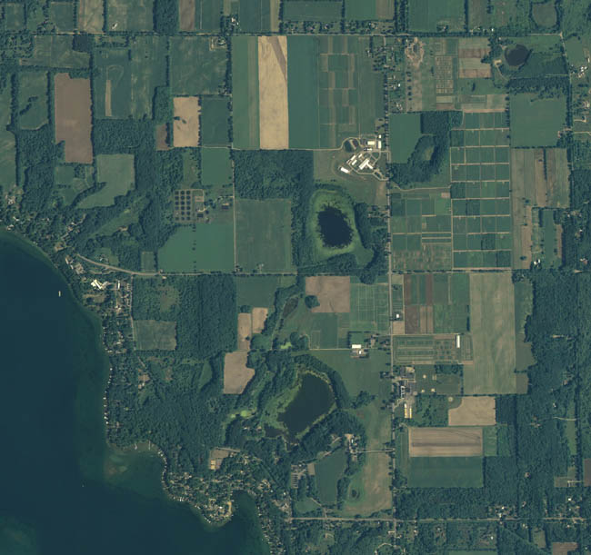
The KBS LTER Site

 People ·

Air Photo table

Airphotos - rectified

KBS Boundary

metadata

shapefile

Elevation (DEM)

metadata

shapefile

Hydrography

metadata

shapefile

2001 Landcover Michigan lower peninsula

Landcover - 2001

metadata

classification

shapefile

Plot polygons/ LTER Main Site

metadata

shapefile

kml

Plot polygons/ LTER Unmanaged Sites

metadata

shapefile

Wetlands

metadata

shapefile

Roads

metadata

shapefile

Satellite Imagery table

Satellite Imagery- rectified

ssurgo soils

Soils

metadata

Kalamazoo Co. shapefile

Barry Co. shapefile

DRG

Topographic map (DRG)

metadata

Kalamazoo Co shapefile

Barry Co. shapefile

KBS LTER plot corner points

Plot points (coordinates)/ LTER Main Site

metadata

shapefile