
Weather
NWCC Products
- 10-Day Projection of Temperature/RH for "Key" RAWS
 (37 K)
 - Northwest Palmer Drought Index (85 K)
- Yesterday's Key Wind RAWS percentile rankings
Upper Air Value Trends
Haines Index Components
- Quillayute Haines Index Graphic
- Spokane Haines Index Graphic
- Salem Haines Index Graphic
- Medford Haines Index Graphic
- Boise Haines Index Graphic
Current Conditions
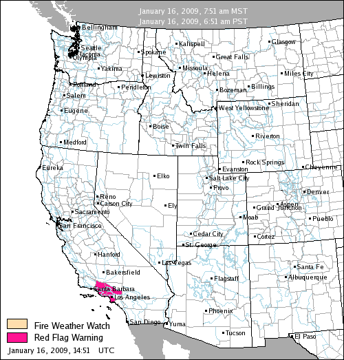
Fire Weather Advisories
Haines Index
RAWS and Other Observations
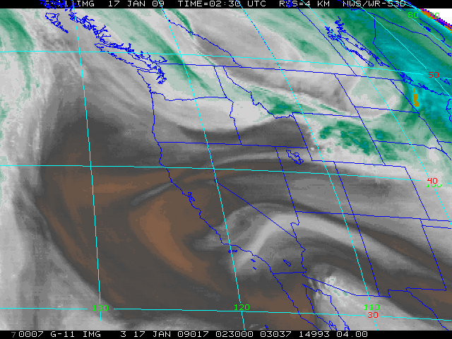
Satellite
- NWS 4 kilometer Infrared Image
- NWS 4 Kilometer Water Vapor Image
- NWS 1 Kilometer Visible Image (daytime only)
- UW Hemispheric Infrared Loop
Radar
Lightning
National Weather Service Fire Weather

Snow/Precipitation Data
Climatology/Drought
- Western Region Climate Center
- United States Climatologies
- Climate, Ecosystem and Fire Applications (CEFA)
- Climate Mapping with Prism
- Western U.S. Precipitation Percentage of Normal for Year
- Extreme Weather and Climate Events
- RAWS USA Climatology
- Palmer Drought Severity Index (PDSI)
- Keetch-Byrum Drought Index (KBDI)
- Drought Monitor
- Standardized Precipitation Index (SPI)
Smoke Monitoring
- Oregon Department of Forestry
- Washington Department of Natural Resources (WADNR)
- USFS Smoke and Fire
Weather Maps
- UCAR Current Atmospheric Soundings
- NW Surface Weather Plot
- Morning Haines Index map
- National Gridded Forecast Database
Weather Forecast Models
- MM5 of University of Washington
- Portland NWS Model Page
- NCEP Loops Page
- Nexlab - College of DuPage
- MeteoStar
Other
- 2008 Fire Weather Operating Plan
 (3.8 MB)
 - 2008 Fire Weather Operating Plan (1.7 MB)
- Critical Fire Weather Patterns of the US (4.0 MB)
National | NWCC Home | About Us | Site Disclaimer | Site Index | Contact Us


Questions or suggestions regarding website content or design should be directed to jlmills@fs.fed.us.
This is a US Government Computer System; before continuing, please read this Disclaimer, as well as our Privacy Policy.
