
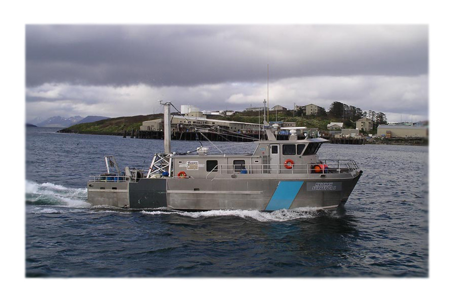

Portland District's Hydrographic Surveys cover an area from Cape Disappointment on the southern Washington Coast to the Chetco River on the Southern Oregon coast and from the Pacific Ociean on the west to McNary Dam on the east. The navigational channels, more than 400 miles worth, consist of coastal entrances, deep and shallow draft harbors and river channels. Utilizing state of the art Data Acquisition and Differential Global Positioning Systems, four full-time, in-house survey crews and one A/E Contracting crew are able to monitor monthly, dynamically active reaches of the navigation channels for shoaling or scouring. An extensive database of hydrographic surveys which include, pre-dredge, progress, post-dredge, condition and material placement surveys are maintained within the District.
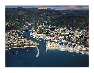
Columbia River Surveys
The section of Hydrographic Surveys has made available, on the internet, "pdf" views of the actual surveys of the Columbia River, from its mouth at the Pacific Ocean, to Bonneville Dam.
The posted hydrographic surveys represent the latest data available and can be viewed in CHANNEL-LINE (survey lines that run parallel to the channel; 7 lines across, spaced 150 feet apart) or CROSS-LINE (survey lines that run perpendicular; bank-to-bank and are generally spaced 500 feet apart) format.
CHANNEL-LINE surveys of this area are taken on a monthly basis and are updated on our web site withing a few days of being received at the District Office. The CROSS-LINE surveys are taken annually and are updated on the web site as they are received (typically in January or February).
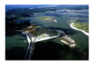
Coastal Surveys
Also available are channel-line surveys of the Oregon coastal projects from Tillamook Bay on the Oregon north Coast to the Chetco River on the Oregon south coast. These surveys are updated once or twice annually, generally during the spring and summer months and can be viewed in COASTAL.