


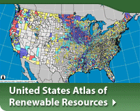
The Dynamic Maps, GIS Data and Analysis Tools Web site provides dynamically-generated maps of renewable energy resources that determine which energy technologies are viable solutions in national and international regions.
This site also provides access to our FTP site where you can download data and Geospatial Toolkits.
The National Renewable Energy Laboratory's Geographic Information System (GIS) team analyzes wind, solar, biomass, geothermal, and other energy resources and inputs the data into the GIS—Geographic Information System. Read more about NREL's GIS team and the map server that creates the dynamically generated maps.
For help with the maps you can access a video tutorial that will show you how the dynamic map sites work.