Near Real-Time Products from CLAVR-x
Variable
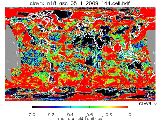
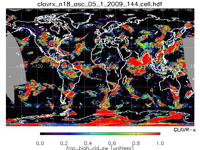
NOAA-18 ASC
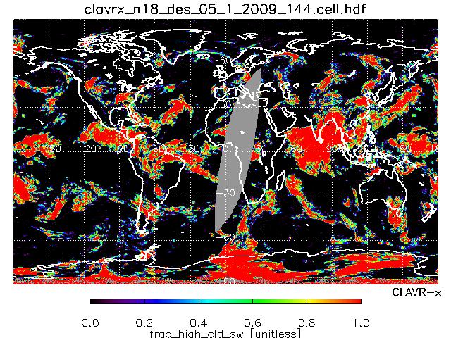
NOAA-18 DES
METOP ASC
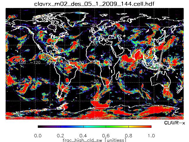
METOP DES
Ch1 REFLECTANCE
7 days loop
7 days loop
7 days loop
7 days loop
TOTAL CLOUD FRACTION
7 days loop
7 days loop
7 days loop
7 days loop
HIGH CLOUD FRACTION
7 days loop
7 days loop
7 days loop
7 days loop
CLOUD TYPE
7 days loop
7 days loop
7 days loop
7 days loop
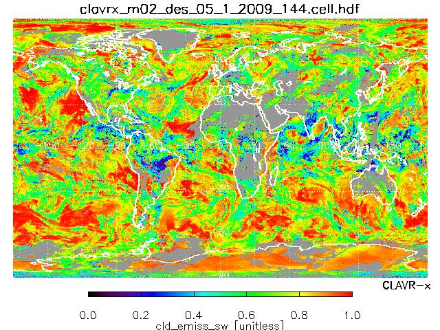
CLOUD EMISSIVITY
7 days loop
7 days loop
7 days loop
7 days loop
CLOUD LIQUID WATER PATH
7 days loop
7 days loop
7 days loop
7 days loop
CLOUD ICE WATER PATH
7 days loop
7 days loop
7 days loop
7 days loop
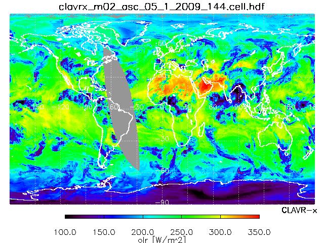
OLR
7 days loop
7 days loop
7 days loop
7 days loop
Equator crossing time: N18-ASC(1:30), M2-DES(10:00), N18-DES(13:30), M2-ASC (22:00)
NESDIS Home
|
CIMSS Home
|
SSEC Home