|
|
|
|
Metadata
|
|
ID
|
07LVI01
|
|
Also Known As
|
E-1-07-MI
|
|
Abstract
|
United States Geological Survey, St. Petersburg, Florida,
Coastal and Marine Geology Program,National Park
Service,National Aeronautics and Space Administration. Chief
Scientists: John Brock, Amar Nayegandhi. LIDAR data of field
activity 07LVI01 (E-1-07-MI) in Vicksburg National Park
(VICK)in MS, parts of Natchez Trace Parkway (NATR) from
09/10/2007 to 09/14/2007
|
|
Organization
|
United States Geological Survey, St. Petersburg, Florida, Coastal and Marine Geology Program
National Park Service
National Aeronautics and Space Administration
|
|
Project/Theme
|
EAARL Lidar survey of Vicksburg National Park for NPS
|
|
Chief Scientist
|
John Brock
Amar Nayegandhi
|
|
Activity Type
|
LIDAR
|
|
Platform
|
Airplane
|
|
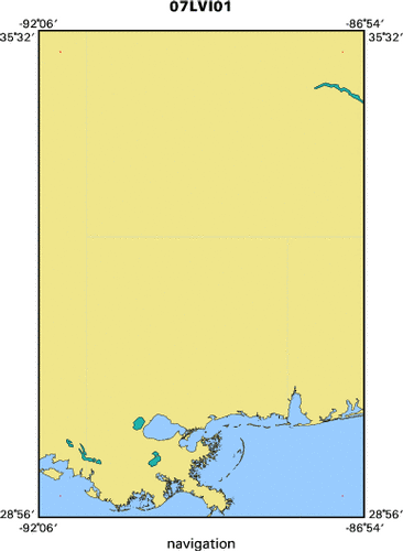
Area of Operation
|
Vicksburg National Park (VICK)in MS, parts of Natchez Trace Parkway (NATR)
|
|
Location map
|

|
|
Bounding Coordinates
|
35.25000
-91.75000 -87.25000
29.25000
|
|
Ports
|
LEAVE Vicksburg, MS
ARRIVE Vicksburg, MS
|
|
Dates
|
09/10/2007 (JD 253) to 09/14/2007 (JD 257)
|
|
Analog Materials
|
No analog holdings.
|
|
Index map
|
|
|
Information Specialist
|
|
|
Crew
|
|
C. Wayne Wright
|
NASA
|
|
Virgil Rabine
|
Pilot, EG&G
|
|
Richard Mitchell
|
EG&G-NASA
|
|
|
Purpose
|
|
Obtain high-resolution topographic data for vegetation analysis in
|
|
collaboration with NPS
|
|
|
Information to be Derived
|
|
Sub-aerial topography, geo-referenced digital camera imagery
|
|
|
Summary
|
|
Lidar data acquisition in collaboration with NPS
|
|
|
Got Help?
|
For 07LVI01, we would appreciate any information on -- analog materials, contract, days at sea, dive count, equipment used, funding, kms of navigation, national plan, NGDC Info, notes, owner, project number, publications, scanned materials, seismic description, station count, station description, submersible, tabulated info.
|
|